
Make time for the places along the way
Start with the current park map and follow the designated access into the nature reserve. Boardwalks and steps let visitors experience the gorge without making their own way over the riverbank. Keep to them, especially when wet, and leave room at narrower sections for others to pass rather than stopping across the whole path.
Check forest notices, current route access, parking charges and facility opening before travelling. Wear shoes with grip and carry enough layers and water for the selected walk. Do not climb barriers or step onto rocks for a closer image. The touring-caravan season is separate from daytime trail access and does not establish winter campsite availability.
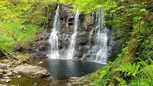 Glenariff Forest Park: follow the waterfall trail with time for the climb

Plan with the tourism route guide and further visitor information. Local signs and current notices take precedence over this overview.