
Mayo · Walking

Tourmakeady Wood · Woodland Visit

A waterfall gives Tourmakeady's woodland walk its focal point, but the approach is worth making part of the visit. Tracks, water and broadleaf trees make a pleasant contrast with the larger views around Lough Mask. Give yourself time for the loop rather than treating the cascade as a place to find and immediately leave.

Choose a marked walk · Check the selected trail
Walking route guide. Key planning locations only; this map does not trace the trail. This is a route overview, not live navigation. Follow local signs and road notices. The marker shows a nearby planning locality, not the park entrance or a walking line. Follow the official visitor directions and current marked trails. Check gates, weather, forestry operations and local closures before travelling. Official visitor information ↗

Explore the planning places

The map loads from OpenStreetMap when you choose to open it. You can also use the town list below.

Planning places · use the official route map for the full alignment

Approximate town-centre markers; not attraction entrances or business addresses. Map: © OpenStreetMap contributors. Planning localities: GeoNames (CC BY 4.0) and OpenStreetMap contributors (ODbL). No trail line is drawn. Town and area markers only; no business pins.

Make time for the places along the way

The signed Tourmakeady Loop is listed as an easy 3.9-kilometre walk, with about eighty metres of ascent and an indicative time of ninety minutes. It follows purple arrows through a combination of forest roads and woodland path. Check the start point carefully: the village approach and the woodland parking area are not the same thing.

Use the current route map and follow notices about forestry work or access. Bring waterproof shoes and a layer for stopping. Dogs are listed as permitted on the loop; keep them controlled and follow any additional local instructions.
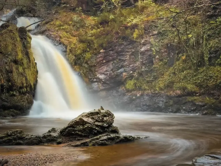
Tourmakeady Waterfall surrounded by woodlandTourmakeady Waterfall: take the woodland loop
Photo: Michael Deligan · Source · CC BY-SA 4.0. Resized and converted to WebP; metadata removed. No scene changes. The derivative retains the source licence. Display preview cropped to fit.

Plan with the tourism route guide and further visitor information. Local signs and current notices take precedence over this overview.

Save journeys and favourite places in the Ramble Journeys app →

More forest parks & woodland days, county by county →