
Make time for the places along the way
Coillte identifies a 1.2-kilometre multi-access loop with benches and an eight-hundred-metre Below the Trees walk. Ask at the visitor area which route currently suits the group’s mobility needs. A short circuit can provide enough time with the trees without becoming a stepping stone to every other path on the map.
Use the current map rather than an older construction-era plan, and obey any work notices. Check the car park’s seasonal hours and the operation of toilets or café separately. Keep dogs on a lead where required and do not assume forest permission also admits them to buildings or the treetop attraction. Wear suitable footwear even on a shorter route. If arriving by train at Rathdrum, plan the actual walking connection and return service instead of assuming the station is at the visitor entrance.
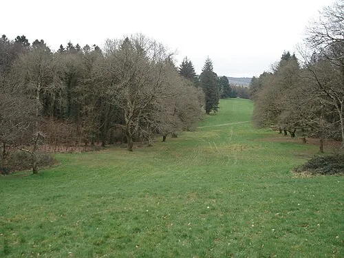 Avondale Forest Park: choose the path beneath the treetops

Plan with the tourism route guide and further visitor information. Local signs and current notices take precedence over this overview.