
Make time for the places along the way
Coillte distinguishes the short Lough Slat approach, the River Trail and the moderate Lough Caum Loop. Their distances and surfaces differ. Read the current trailhead information and choose the least demanding option that still gives everyone the outing they want. A modest lakeside pause can be more satisfying than attempting a longer circuit simply because it appears on the map.
Check current Coillte notices, gate hours and route conditions. Wear grippy footwear and choose a trail suitable for your mobility and experience. Fishing needs separate local permit checks. Do not interpret possible mountain access as a marked, prepared extension of a lakeside walk.
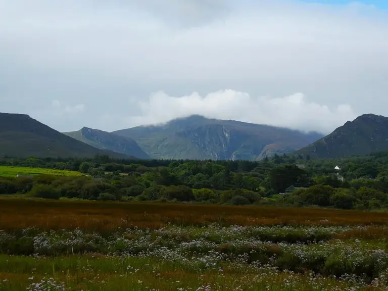 Glanteenassig: choose a lakeside trail in the Slieve Mish valley

Plan with the tourism route guide and further visitor information. Local signs and current notices take precedence over this overview.