
Make time for the places along the way
Coillte lists several walks, including a short multi-access trail and longer Gartanoul routes. Their distances and purposes differ. Read the entrance map before setting off; a photograph of a smooth lakeside path does not describe every track in the forest.
Check Coillte’s current notices, map and parking arrangements before travelling. Match the chosen walk to daylight and the group’s needs, and ask about the precise multi-access route if a firm surface is essential. Carry footwear for wet sections and follow any forestry closure. Cycling, boating and commercial accommodation have their own routes or arrangements; a walking visit does not include those services. Keep dogs under the required control, take litter home and leave fallen timber and plants where they are. A single unhurried circuit can give a better sense of Killykeen than an ambitious collection of disconnected tracks.
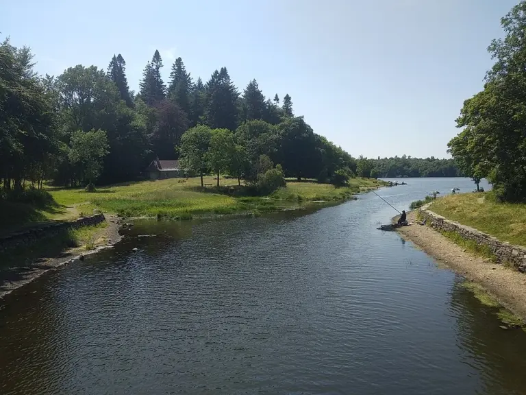 Killykeen Forest Park: choose a shore, then choose a walk

Plan with the tourism route guide and further visitor information. Local signs and current notices take precedence over this overview.