
Make time for the places along the way
The official description passes through Mourne farming country and Attical towards Whitewater Bridge, then rejoins the coastal route. Rostrevor is an optional onward planning stop, not an instruction to include it in the short inland section.
Silent Valley is a separate park visit near the route. Check its opening and walking arrangements, and use the official road directions rather than following a line between reservoirs.
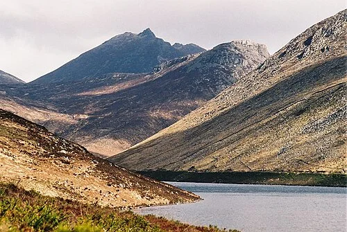 Silent Valley: follow an open route beside the working reservoirs

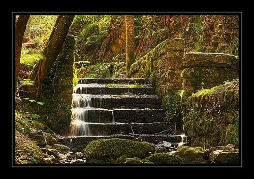 Rostrevor Oakwood: look closely at the woodland below the mountains

Plan with the tourism route guide and further visitor information. Local signs and current notices take precedence over this overview.