
Make time for the places along the way
The park promotes a ten-kilometre scenic drive through woodland and mountain heath. Use the park entrance, current opening arrangements and the signed one-way direction; Meigh is the nearby planning village, not the drive’s road line.
A mountain walk is a separate outing from the drive. The park currently reports that the passage tomb is closed until further notice. Check forest operations and access before travel, and respect gate times.
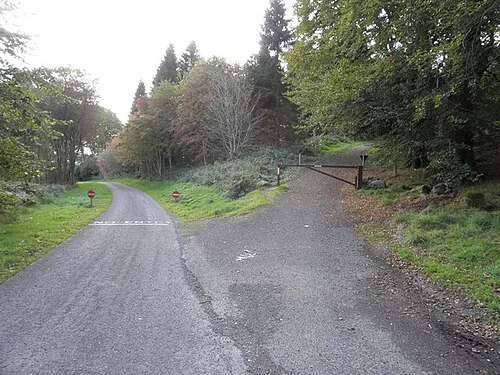 Slieve Gullion Forest Park: a woodland day below the summit

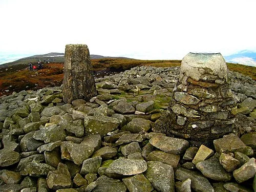 Slieve Gullion summit: prepare for a mountain, not a park stroll

Plan with the tourism route guide and further visitor information. Local signs and current notices take precedence over this overview.