
Make time for the places along the way
The official turquoise driving line starts and finishes in Mountrath, taking in Ballyfin, Cathole Falls, the Capard viewpoint area, Rosenallis, Clonaslee, the Cut and Monicknew. Follow that map and current road signs for the complete circuit.
The Capard walking closure is separate from the promoted road drive. Do not enter closed boardwalk or trail sections; choose any walking stop only after checking its current access notice.
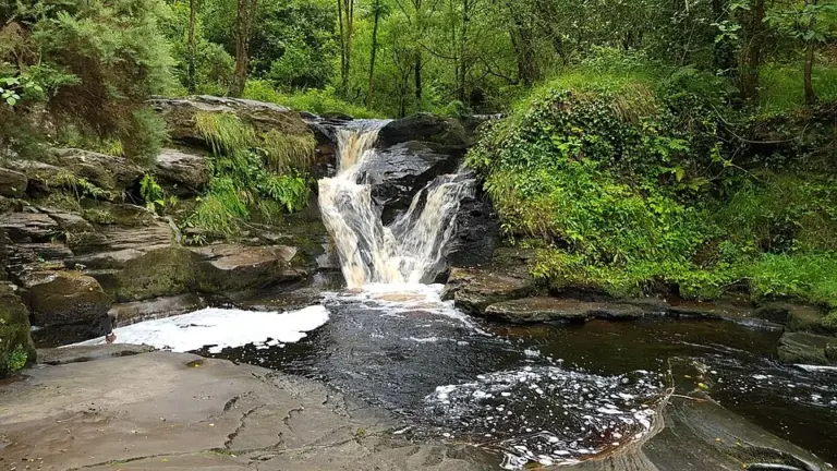 Glenbarrow’s waterfall: choose the walk as carefully as the photograph

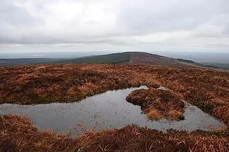 Ridge of Capard: check the boardwalk before planning the view

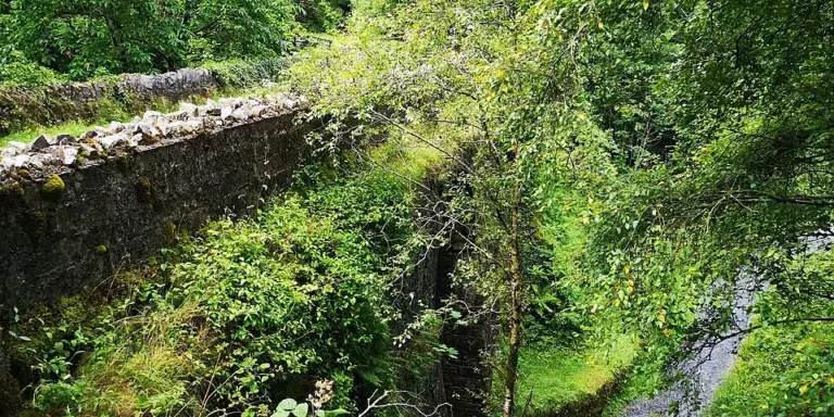 Monicknew Riverside Walk: a shorter Slieve Bloom outing

Plan with the tourism route guide and further visitor information. Local signs and current notices take precedence over this overview.