Waterford · Scenic touring

Comeragh · Scenic Touring

Explore the Comeragh foothills with time for a separate waterfall visit or a village pause.

Mountain-road touring choices · Choose the current road map
Scenic touring route guide. Key planning locations only; this map does not trace the trail. This is a route overview, not live navigation. Follow local signs and road notices. Interactive planning places, not a traced road or navigation line. Use the linked official touring map to choose the route or variant, and follow current local road and access signs. Official visitor information ↗

Explore the planning places

The map loads from OpenStreetMap when you choose to open it. You can also use the town list below.

Planning places · use the official route map for the full alignment

Approximate town-centre markers; not attraction entrances or business addresses. Map: © OpenStreetMap contributors. Planning localities: GeoNames (CC BY 4.0) and OpenStreetMap contributors (ODbL). No trail line is drawn. Town and area markers only; no business pins.

Make time for the places along the way

The Comeragh touring area has mountain-road approaches and separate walking routes. Choose the published road itinerary and check current road conditions; the Mahon Valley walks are not a driving alignment.

Mahon Falls and Coumshingaun require their own parking and walking plans. The locality map does not draw a road between mountain attractions or suggest that a strenuous mountain circuit is a quick roadside stop.
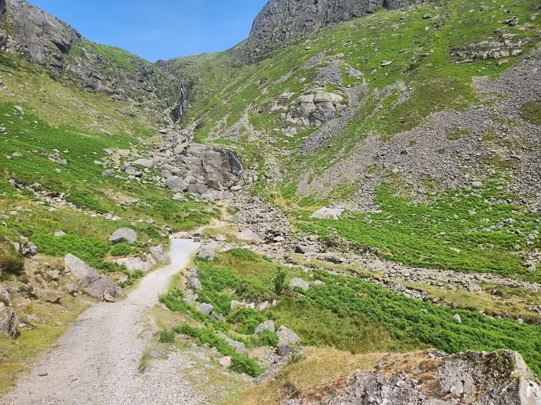
Mahon Falls below the Comeragh MountainsMahon Falls: make room for the approach, not just the photograph
Photo: Legoless · Source · CC BY-SA 4.0. Resized and converted to WebP; metadata removed. No scene changes. The derivative retains the source licence. Display preview cropped to fit.
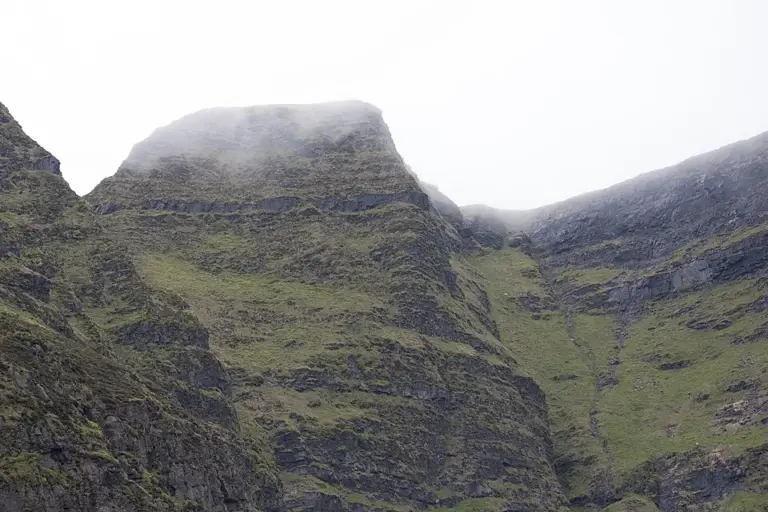
Mountain slopes near Lough Coumshingaun in the ComeraghsCoumshingaun: treat the corrie as a mountain outing
Photo: Kevin O'Brien 13 · Source · CC BY-SA 4.0. Resized and converted to WebP; metadata removed. No scene changes. The derivative retains the source licence. Display preview cropped to fit.

Plan with the tourism route guide and further visitor information. Local signs and current notices take precedence over this overview.

Save journeys and favourite places in the Ramble Journeys app →