Sligo · Leitrim · Scenic touring

Yeats Trail

Choose places that bring Yeats’s Sligo landscape to life, with time to pause at the trail installations.

Fourteen literary locations · Flexible touring order
Scenic touring route guide. Key planning locations only; this map does not trace the trail. This is a route overview, not live navigation. Follow local signs and road notices. Interactive planning places, not a traced road or navigation line. Use the linked official touring map to choose the route or variant, and follow current local road and access signs. Official visitor information ↗

Explore the planning places

The map loads from OpenStreetMap when you choose to open it. You can also use the town list below.

Planning places · use the official route map for the full alignment

Approximate town-centre markers; not attraction entrances or business addresses. Map: © OpenStreetMap contributors. Planning localities: GeoNames (CC BY 4.0) and OpenStreetMap contributors (ODbL). No trail line is drawn. Town and area markers only; no business pins.

Make time for the places along the way

The official trail has fourteen locations: Knocknarea, Rosses Point, Drumcliffe, Lissadell, Benbulben, Glencar, Hazelwood, Deerpark, Innisfree, Slish Wood, Dooney Rock, Union Wood, Ballisodare and Glen Wood. They can be visited in sequence or in an order that suits the day.

The town pins help organise nearby stories and businesses, not navigate to every installation. Use each official location page for the actual entrance. Forest walks, mountain paths, house visits and shoreline viewpoints have different access arrangements.
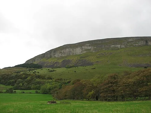
Knocknarea rising above fieldsKnocknarea: a walking day around Queen Maeve’s Cairn
Photo: Willie Duffin · Source · CC BY-SA 2.0. Resized and converted to WebP; metadata removed. No scene changes. The derivative retains the source licence. Display preview cropped to fit.
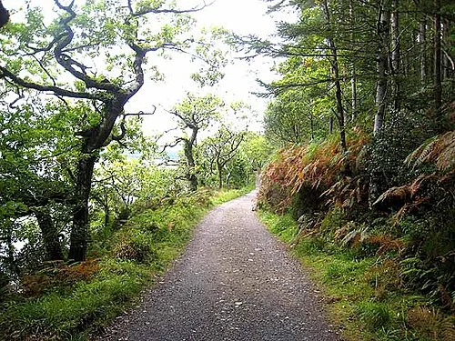
A woodland path at Slish WoodSlish Wood: choose the lake loop before the longer trail
Photo: Oliver Dixon · Source · CC BY-SA 2.0. Resized and converted to WebP; metadata removed. No scene changes. The derivative retains the source licence. Display preview cropped to fit.
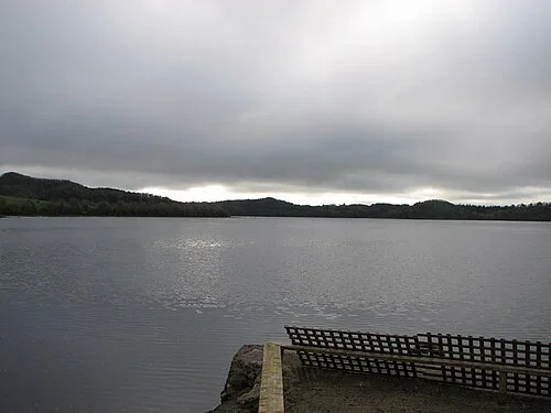
A view across Lough GillDooney Rock: a short walk with a literary connection
Photo: Willie Duffin · Source · CC BY-SA 2.0. Resized and converted to WebP; metadata removed. No scene changes. The derivative retains the source licence. Display preview cropped to fit.

Plan with the tourism route guide and further visitor information. Local signs and current notices take precedence over this overview.

Save journeys and favourite places in the Ramble Journeys app →