
Make time for the places along the way
The visitor guide describes a thirty-five-kilometre Mulroy Drive with viewing points and additional visits around Fanad and Rosguill. These locality pins help explore that wider area; they are not an instruction to drive through every town as one thirty-five-kilometre loop.
Choose the current main route first, then allow extra time for Knockalla, Fanad Lighthouse, Doe Castle or Ards Forest Park. Tours, beaches, walks and watersports need their own opening, access and weather checks.
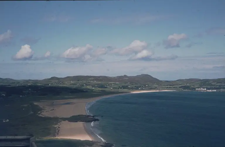 Portsalon: spend a day at Ballymastocker Strand

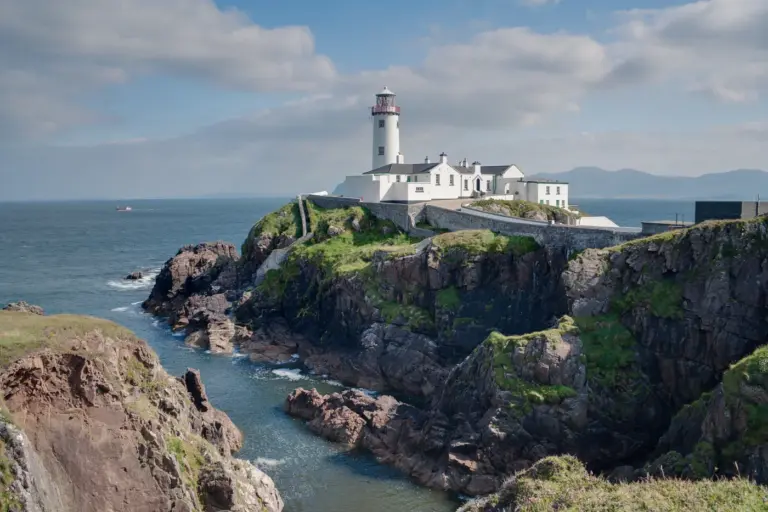 Stay at Fanad Lighthouse: a keeper’s cottage on the coast

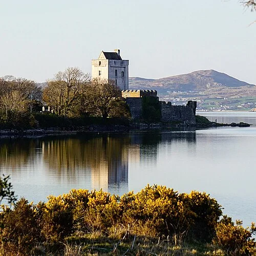 Doe Castle: a waterside stronghold on Sheephaven Bay

Plan with the tourism route guide and further visitor information. Local signs and current notices take precedence over this overview.