Scenic drives · Discover the places along the way

Donegal Route 3 · The Rosses & Gweedore

Tour the Rosses and Gweedore before returning inland through the Errigal and Glenveagh landscape.

Scenic driving · Towns, stories and local businesses
A scenic road journey. Explore the published touring area, with nearby visits planned separately. This is a route overview, not live navigation. Follow local signs and road notices. Suggested public-road connections between the promoted stops. Optional walks, attraction entrances and side trips need separate planning. Follow local signs, road restrictions and current conditions. This overview is not live navigation. Official visitor information ↗

See the towns on the map

The map loads from OpenStreetMap when you choose to open it. You can also use the town list below.

Donegal Route 3 · The Rosses & Gweedore · mapped circuit approximately 129 km

Approximate town-centre markers; not attraction entrances or business addresses. Map: © OpenStreetMap contributors. Road data © OpenStreetMap contributors (ODbL), route trace prepared with BRouter; checked against the tourism guide, 21 November 2026. Not live navigation. Town and area markers only; no business pins.

Make time for the places along the way

The main circuit links fishing harbours and Gaeltacht villages with the mountain road towards Dunlewy and the Glenveagh area. Churchill provides another place to pause before the return to Dungloe.

Cruit Island, Carrickfinn, Bloody Foreland and the island ferries are optional extensions from the main road overview. Ferry trips, mountain climbs and national-park visits need separate plans; the road line does not enter walking-only park roads.
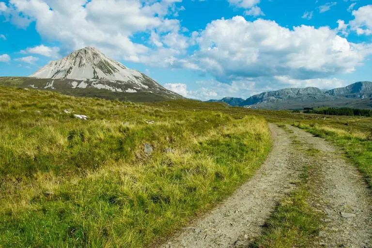
Errigal rising above a moorland pathErrigal: plan for a mountain, not a quick viewpoint
Photo: Benjamin Hirsch · Source · CC BY-SA 4.0. Resized and converted to WebP; metadata removed. No scene changes. The derivative retains the source licence. Display preview cropped to fit.
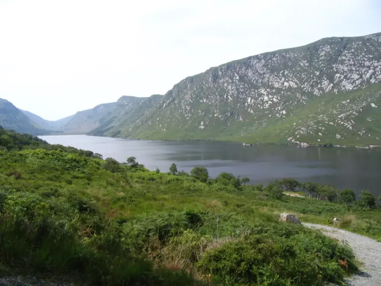
A lake and hills in Glenveagh National ParkGlenveagh: make a day of the valley, gardens and trails
Photo: Patrice78500 · Source · Public domain. Resized and converted to WebP; metadata removed. No scene changes. The derivative retains the source licence. Display preview cropped to fit.
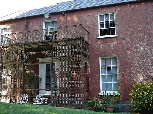
Glebe House near Lough GartanGlebe House and Gallery: art beside Lough Gartan
Photo: Kay Atherton · Source · CC BY-SA 2.0. Resized and converted to WebP; metadata removed. No scene changes. The derivative retains the source licence. Display preview cropped to fit.

Plan with the tourism route guide and further visitor information. Local signs and current notices take precedence over this overview.

Save journeys and favourite places in the Ramble Journeys app →