
Make time for the places along the way
The promoted circuit combines Rosbeg and Narin–Portnoo with Glenties, Fintown and the Twin Towns before returning towards Ardara. The broad inland landscape makes this a different outing from staying on the Wild Atlantic Way.
This road overview uses the main Barnesmore connection. A drive around Lough Eske and visits to megalithic sites are separate detours; check entrances and the extra time before adding them.
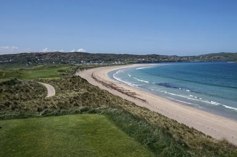 Narin and Portnoo: a beach day with the island left offshore

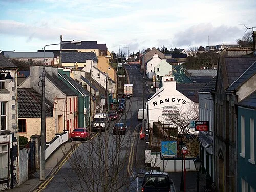 Ardara and Donegal tweed: go looking for the making

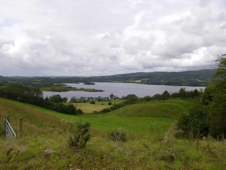 Lough Eske Castle: choosing a hotel stay beside the lake

Plan with the tourism route guide and further visitor information. Local signs and current notices take precedence over this overview.