
Make time for the places along the way
The Geopark publishes a choice of cycle routes with different starts and lengths. Use the individual route map instead of assuming every town pin belongs to one circuit.
The loops use public roads rather than a continuous protected cycleway. Match climbing and distance to the group, check the weather and park bikes only where permitted at heritage sites.
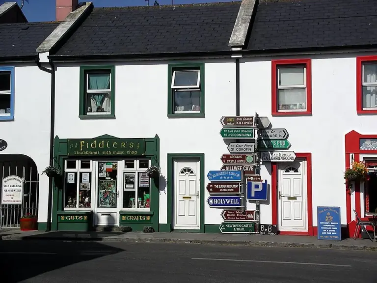 Ballyvaughan: choose a Burren base without filling every hour

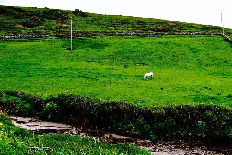 Doolin: leave room for the village between the bigger excursions

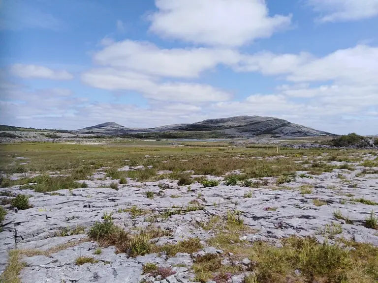 Burren National Park: start in Corofin and choose a trail that fits

Plan with the tourism route guide and further visitor information. Local signs and current notices take precedence over this overview.