Roscommon · Longford · Westmeath · Meath · Kildare · Dublin · Walking & cycling

National Famine Way

Follow a heritage journey from Strokestown towards Dublin, planning the route and its story in stages.

Multi-day heritage route · Check each walking or cycling stage
Walking & cycling route guide. Key planning locations only; this map does not trace the trail. This is a route overview, not live navigation. Follow local signs and road notices. Planning locations only, not a traced walking path. Use the current official trail map and waymarkers, check access and weather, and plan the return or onward transport before setting out. Official visitor information ↗

Explore the planning places

The map loads from OpenStreetMap when you choose to open it. You can also use the town list below.

Planning places · use the official route map for the full alignment

Approximate town-centre markers; not attraction entrances or business addresses. Map: © OpenStreetMap contributors. Planning localities: GeoNames (CC BY 4.0) and OpenStreetMap contributors (ODbL). No trail line is drawn. Town and area markers only; no business pins.

Make time for the places along the way

The National Famine Way commemorates the journey of Strokestown emigrants. Use the official route and interpretation to understand the connections and heritage markers, rather than treating it as an ordinary canal leisure loop.

Check the current walking or cycling advice for every stage, including road approaches and shared towpaths. This guide does not reopen the separately closed Westmeath Way or imply that all nearby trails have the same access.
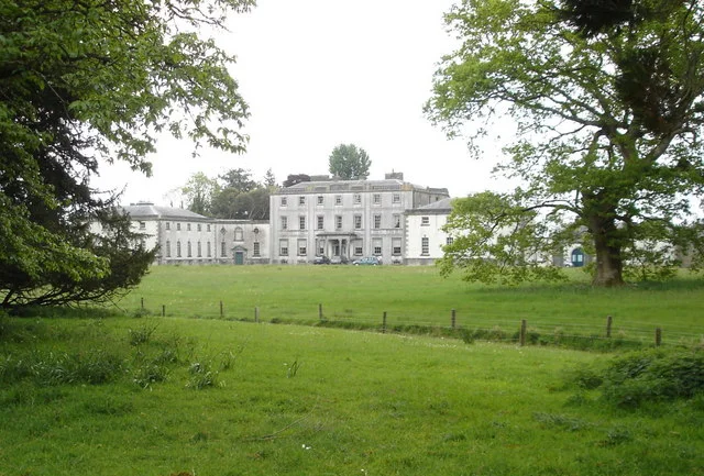
The exterior of Strokestown Park HouseNational Famine Way: begin at Strokestown with the story in mind
Photo: Kay Atherton · Source · CC BY-SA 2.0. Resized and converted to WebP; metadata removed. No scene changes. The derivative retains the source licence. Display preview cropped to fit.
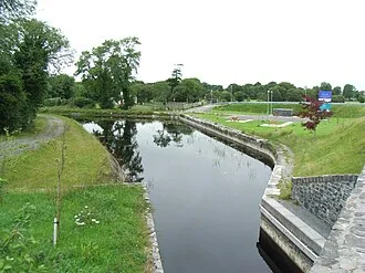
Mosstown Harbour on the Royal CanalThe National Famine Way: walk a Longford section with its history
Photo: JP  · Source · CC BY-SA 2.0. Resized and converted to WebP; metadata removed. No scene changes. The derivative retains the source licence. Display preview cropped to fit.
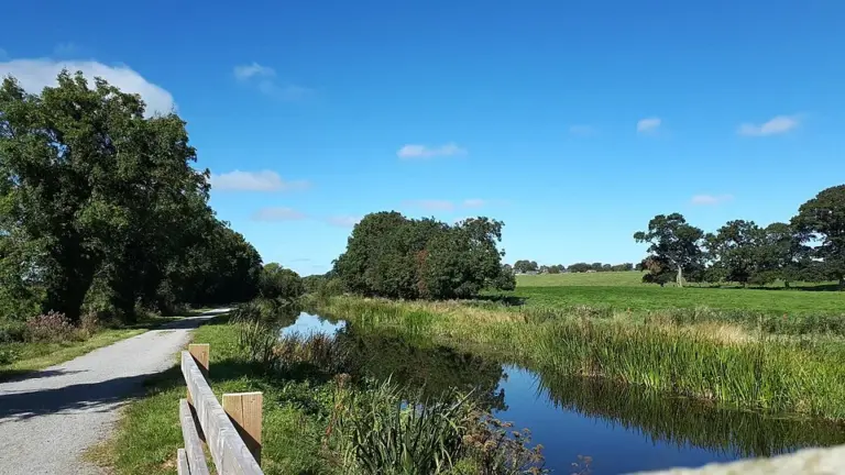
The Royal Canal and towpath near EnfieldEnfield and the Royal Canal: choose a waterside stretch of your own
Photo: Scaramanga731 · Source · CC BY-SA 4.0. Resized and converted to WebP; metadata removed. No scene changes. The derivative retains the source licence. Display preview cropped to fit.

Plan with the tourism route guide and further visitor information. Local signs and current notices take precedence over this overview.

Save journeys and favourite places in the Ramble Journeys app →