Kerry · Walking & cycling
Gap of Dunloe · Walking & Cycling
Plan a walk or cycle through the Gap with time for the narrow road and its mountain setting.
Shared road through the gap · Walking or cycling; plan the returnExplore the planning places
The map loads from OpenStreetMap when you choose to open it. You can also use the town list below.
Planning places · use the official route map for the full alignment
Approximate town-centre markers; not attraction entrances or business addresses. Map: © OpenStreetMap contributors. Planning localities: GeoNames (CC BY 4.0) and OpenStreetMap contributors (ODbL). No trail line is drawn. Town and area markers only; no business pins.
Make time for the places along the way
The official visitor guidance recommends walking, cycling or a jaunting car for the Gap. This is a shared narrow road rather than a traffic-free trail; choose an outing that suits the group.
Arrange the return independently. Any boat, bike hire or organised transfer needs separate checking and booking; the village pins do not identify every departure point.
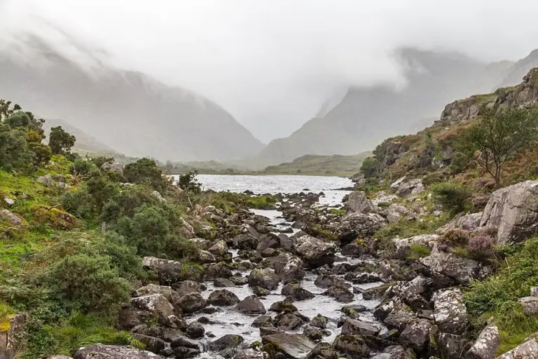
The Gap of Dunloe: choose how to travel before setting out
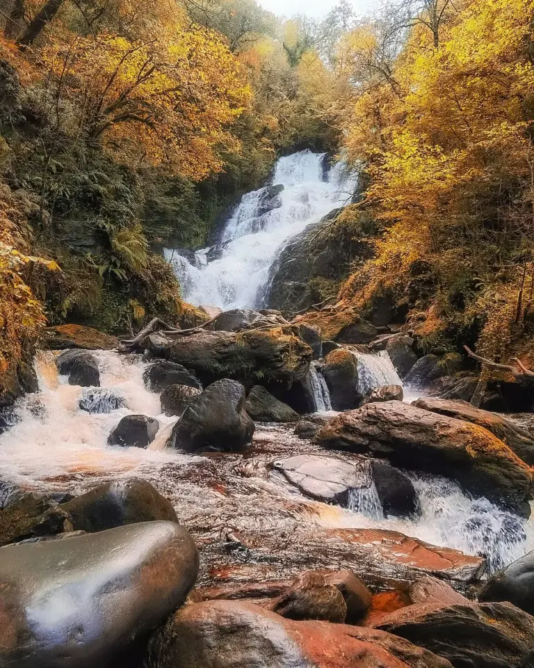
Torc Waterfall: choose the short viewpoint visit or a longer walkPlan with the tourism route guide and further visitor information. Local signs and current notices take precedence over this overview.