
Make time for the places along the way
The Camino is a named walking circuit, separate from the Boyne Valley Drive and the riverside greenway. The official visitor page includes a diversion notice, so consult that map before setting out.
Drogheda and Oldbridge are planning places on this overview. They are not straight-line walking instructions; follow the current route guidance and check access to heritage sites separately.
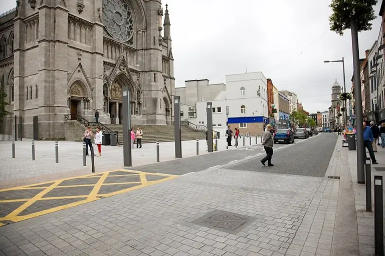 Drogheda: give both sides of the Boyne a place in the day

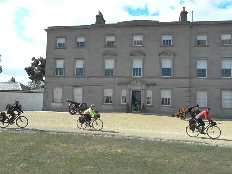 Oldbridge: understand the Battle of the Boyne from the landscape

Plan with the tourism route guide and further visitor information. Local signs and current notices take precedence over this overview.