
Make time for the places along the way
Use the current Beara tourism walking map to select mainland stages and any island options. The road circuit and cable-car visit are separate journeys and do not provide a walking line between these villages.
Arrange accommodation and transport for the actual stage. Check mountain conditions, farmland access and any island transport independently; the planning map does not imply every branch is open or suitable for every walker.
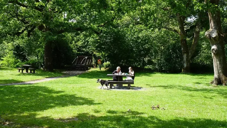 Glengarriff Nature Reserve: find a woodland walk that fits

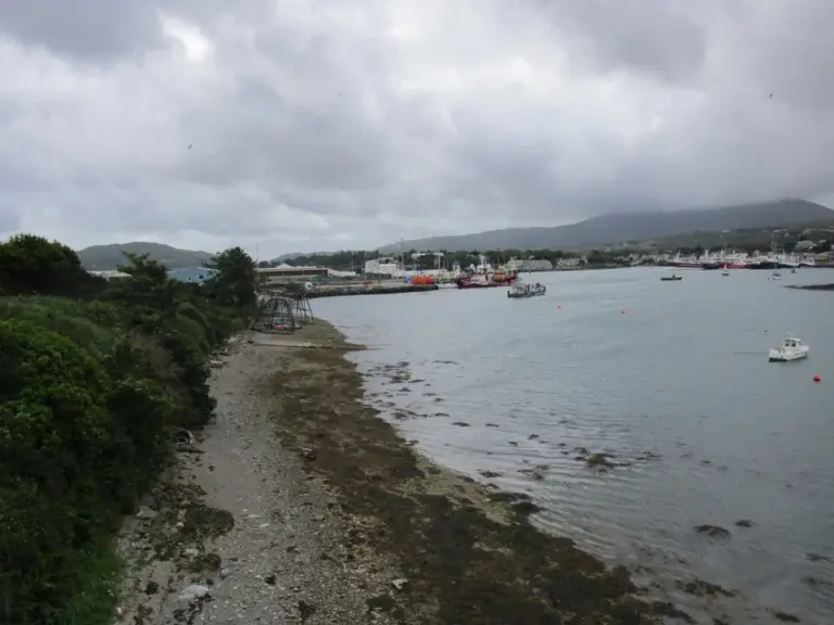 Castletownbere: spend time beside a working fishing harbour

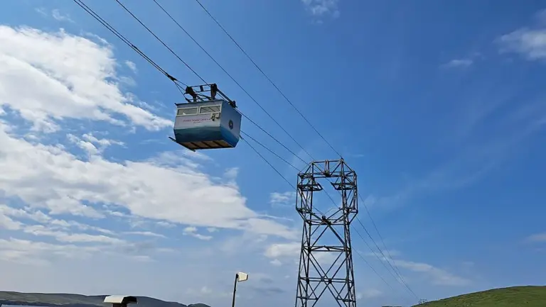 Dursey Island: organise the return before the crossing

Plan with the tourism route guide and further visitor information. Local signs and current notices take precedence over this overview.