
Make time for the places along the way
The Lough Derg Way is a walking route rather than a road circuit around the lake. Use the current stage map to understand the connections from Limerick through the Killaloe and Ballina area towards Dromineer.
Different stages include different ground and access arrangements. Check the published trail, weather and transport instead of assuming a continuous accessible waterside promenade.
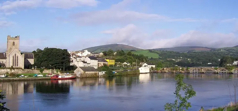 Killaloe and Ballina: take time on both sides of the Shannon

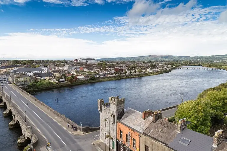 Limerick’s Three Bridges Walk: see the city from the Shannon

Plan with the tourism route guide and further visitor information. Local signs and current notices take precedence over this overview.