Mayo · Walking
Croagh Patrick Heritage Trail
Approach Croagh Patrick’s wider landscape through a heritage walking journey, separate from the summit climb.
Long-distance heritage walk · Choose a published stageExplore the planning places
The map loads from OpenStreetMap when you choose to open it. You can also use the town list below.
Planning places · use the official route map for the full alignment
Approximate town-centre markers; not attraction entrances or business addresses. Map: © OpenStreetMap contributors. Planning localities: GeoNames (CC BY 4.0) and OpenStreetMap contributors (ODbL). No trail line is drawn. Town and area markers only; no business pins.
Make time for the places along the way
The heritage trail connects inland Mayo with the Murrisk area. Use the current route map and stage advice to choose a walking day; the mountain ascent is not automatically part of this trail.
Arrange the return from the actual stage endpoint and check land access. The locality pins show places to organise the trip, not a line to follow across farmland.
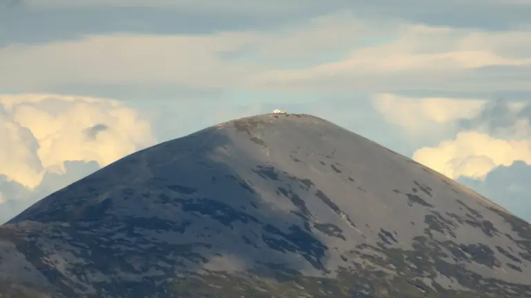
Croagh Patrick: a mountain day above Clew Bay
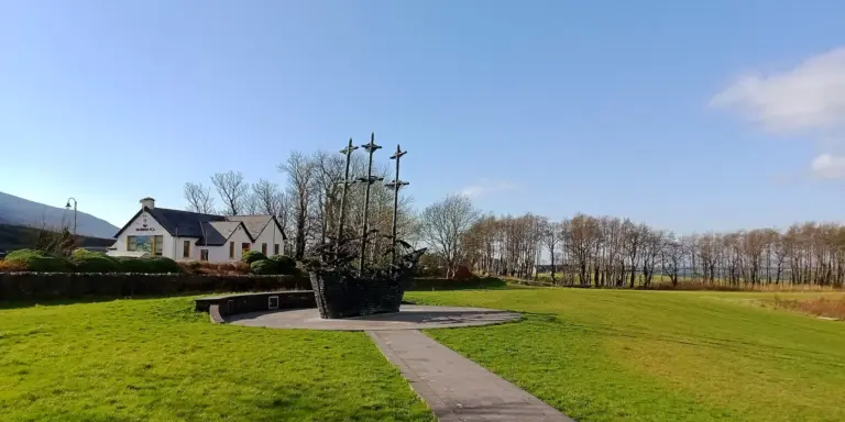
The National Famine Memorial: a quiet stop in MurriskPlan with the tourism route guide and further visitor information. Local signs and current notices take precedence over this overview.