Roscommon · Leitrim · Walking

Miners’ Way & Historical Trail

Choose a walking stage through the mining heritage and upland landscape around Arigna.

Two connected walking routes · Choose a published stage
Walking route guide. Key planning locations only; this map does not trace the trail. This is a route overview, not live navigation. Follow local signs and road notices. Planning locations only, not a traced walking path. Use the current official trail map and waymarkers, check access and weather, and plan the return or onward transport before setting out. Official visitor information ↗

Explore the planning places

The map loads from OpenStreetMap when you choose to open it. You can also use the town list below.

Planning places · use the official route map for the full alignment

Approximate town-centre markers; not attraction entrances or business addresses. Map: © OpenStreetMap contributors. Planning localities: GeoNames (CC BY 4.0) and OpenStreetMap contributors (ODbL). No trail line is drawn. Town and area markers only; no business pins.

Make time for the places along the way

The Miners’ Way and Historical Trail are connected but distinct routes, with different distances and stage choices. Use the current published map to choose one rather than adding their lengths into an assumed single circuit.

These town pins help plan services and heritage visits. Check farmland access and the no-dogs guidance, and do not treat a mine visit as proof that the entire walking network is accessible from its entrance.
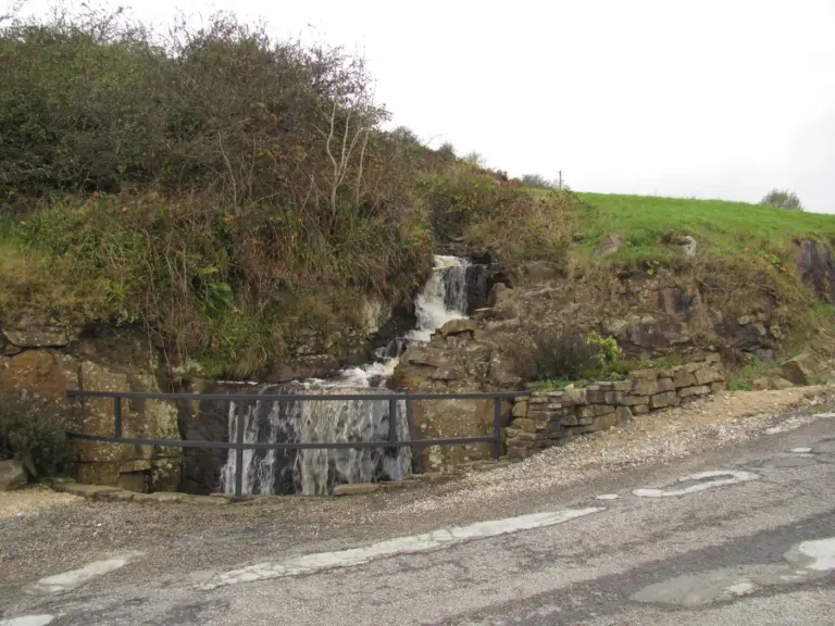
The entrance water feature at Arigna Mining ExperienceArigna Mining Experience: listen to the people who worked below ground
Photo: RTG · Source · CC BY-SA 4.0. Resized and converted to WebP; metadata removed. No scene changes. The derivative retains the source licence. Display preview cropped to fit.
The town clock and streets in BoyleA day in Boyle: put the town between the attractions
Photo: Z thomas · Source · CC BY-SA 4.0. Resized and converted to WebP; metadata removed. No scene changes. The derivative retains the source licence. Display preview cropped to fit.
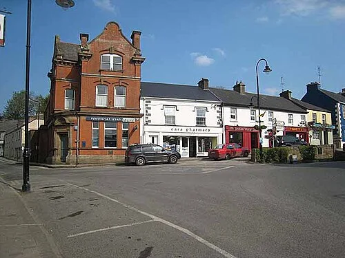
Buildings around Market Square in DrumshanboDrumshanbo: a day around the town and the lake
Photo: Oliver Dixon · Source · CC BY-SA 2.0. Resized and converted to WebP; metadata removed. No scene changes. The derivative retains the source licence. Display preview cropped to fit.

Plan with the tourism route guide and further visitor information. Local signs and current notices take precedence over this overview.

Save journeys and favourite places in the Ramble Journeys app →