
Make time for the places along the way
Use the current South Leinster Way map to choose the actual stage, rather than joining these town pins by road. The full route runs from Kildavin towards Carrick-on-Suir across several counties.
Check land access, accommodation and transport before committing to a multi-day trip. Nearby heritage stops may require a separate visit from the walking stage.
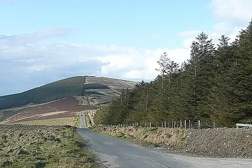 The South Leinster Way from Kildavin: plan a Carlow stage

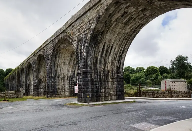 Borris Viaduct: take a short walk around a railway landmark

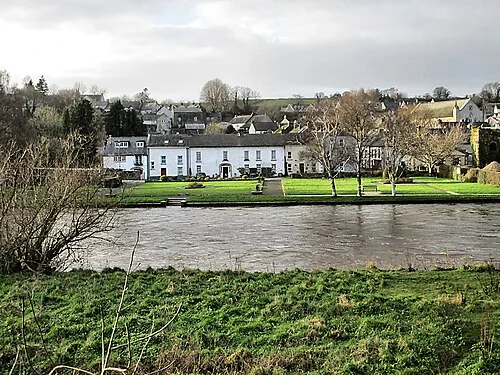 Inistioge: keep a village visit separate from the climb to Woodstock

Plan with the tourism route guide and further visitor information. Local signs and current notices take precedence over this overview.