
Make time for the places along the way
The trail manager describes an eight-kilometre river section with an additional approach from the city centre. Check the exact start in the current map when calculating the full day.
This is a linear walk, not a continuous loop with a guaranteed return service. Respect the no-dogs guidance around livestock, check river conditions and stay on the permitted route.
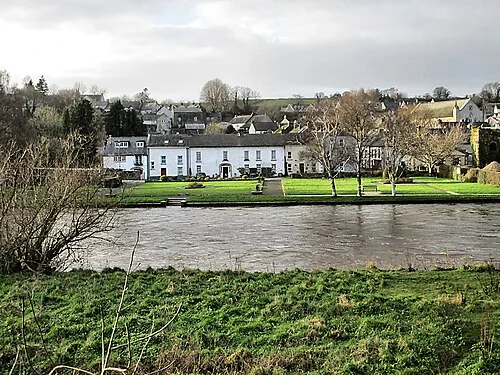 The Nore Valley Walk: plan one signed section and its return

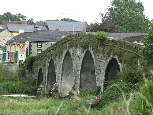 Bennettsbridge: pottery, an old mill and time beside the Nore

Plan with the tourism route guide and further visitor information. Local signs and current notices take precedence over this overview.