
Make time for the places along the way
The promoted walk uses public roads around the valley. It is not permission to enter commercial forestry, climb towards caves or follow unmarked mountain ground.
Use the current Sligo Walks directions for the start and circuit. Walk with care around traffic, avoid blocking entrances and keep optional visits separate from the road route.
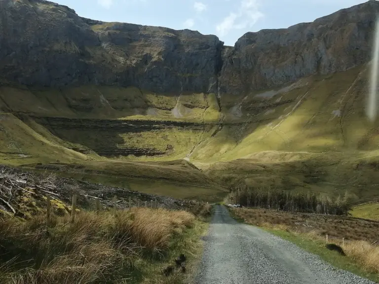 Gleniff Horseshoe: a valley visit beneath the Dartry Mountains

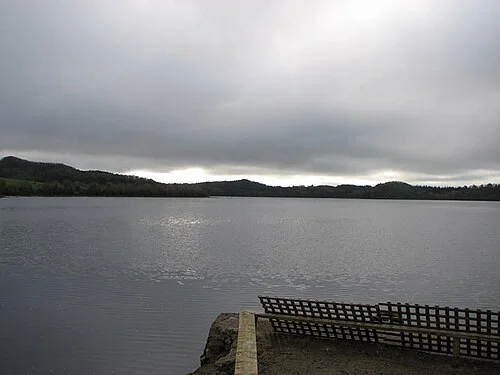 Around Lough Gill: a journey through Sligo and Leitrim

Plan with the tourism route guide and further visitor information. Local signs and current notices take precedence over this overview.