Donegal · Walking

Bluestack Way

Cross Donegal’s inland landscape in walking stages between Donegal town and Ardara.

About 64 km full route · Multi-day hill walking
Walking route guide. Key planning locations only; this map does not trace the trail. This is a route overview, not live navigation. Follow local signs and road notices. Planning locations only, not a traced walking path. Use the current official trail map and waymarkers, check access and weather, and plan the return or onward transport before setting out. Official visitor information ↗

Explore the planning places

The map loads from OpenStreetMap when you choose to open it. You can also use the town list below.

Planning places · use the official route map for the full alignment

Approximate town-centre markers; not attraction entrances or business addresses. Map: © OpenStreetMap contributors. Planning localities: GeoNames (CC BY 4.0) and OpenStreetMap contributors (ODbL). No trail line is drawn. Town and area markers only; no business pins.

Make time for the places along the way

The Bluestack Way links Donegal town, the Lough Eske area and the route towards Glenties and Ardara. Use the official stage map for the path through the hills and arrange accommodation and supplies before setting out.

Prepare for remote, wet and exposed ground as well as quieter road sections. Nearby heritage and food visits may require a separate approach; keep the walking day realistic for weather, daylight and the group.
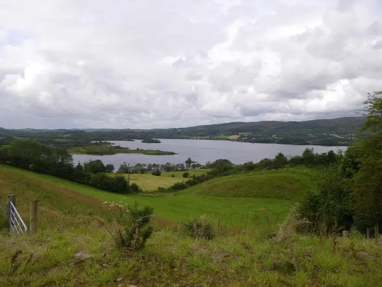
Lough Eske and surrounding countrysideLough Eske Castle: choosing a hotel stay beside the lake
Photo: Cqui · Source · CC BY-SA 3.0. Resized and converted to WebP; metadata removed. No scene changes. The derivative retains the source licence. Display preview cropped to fit.
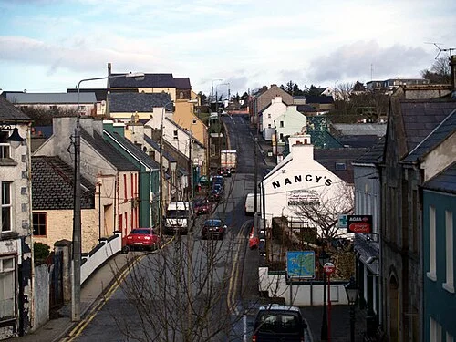
Front Street in ArdaraArdara and Donegal tweed: go looking for the making
Photo: Bart Whelan · Source · CC BY-SA 2.0. Resized and converted to WebP; metadata removed. No scene changes. The derivative retains the source licence. Display preview cropped to fit.

Plan with the tourism route guide and further visitor information. Local signs and current notices take precedence over this overview.

Save journeys and favourite places in the Ramble Journeys app →