
Make time for the places along the way
Florencecourt is shown as a nearby planning locality. Use the operator’s directions for the actual trailhead and parking; the Marble Arch Caves visitor car park is not a substitute for the walking car parks.
The permitted trail finishes at the viewing platform. Do not continue towards the summit beyond it. Conditions can change quickly and the final steps need enough energy for the descent and return.
 Cuilcagh Boardwalk: plan a mountain walk, not just a staircase photograph

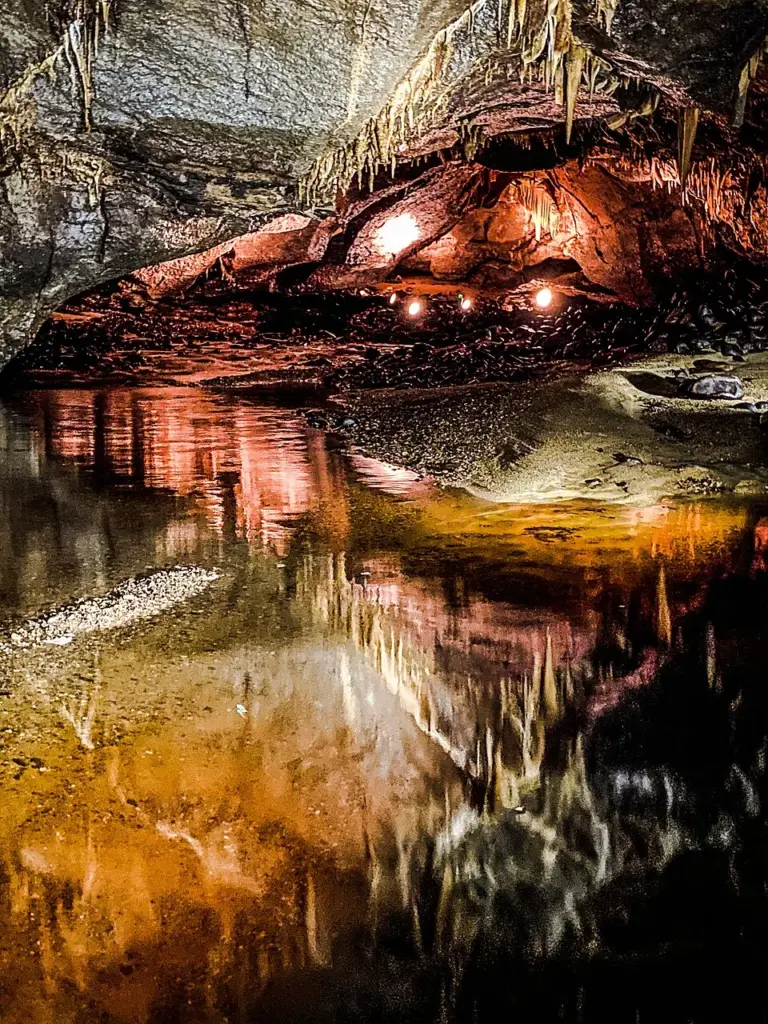 Marble Arch Caves: book the underground visit around the river conditions

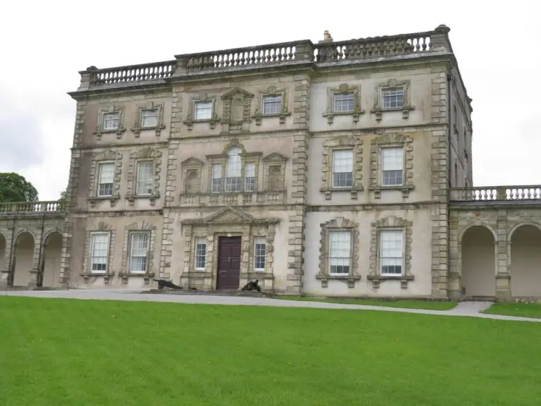 Florence Court: plan the house tour separately from the grounds

Plan with the tourism route guide and further visitor information. Local signs and current notices take precedence over this overview.