Galway · Walking

Diamond Hill · Upper Red Route

Make a deliberate mountain-day choice before continuing from the lower trail onto Diamond Hill’s Upper Red Route.

Upper route plus approach · Strenuous
Walking route guide. Key planning locations only; this map does not trace the trail. This is a route overview, not live navigation. Follow local signs and road notices. Planning locations only, not a traced walking path. Use the current official trail map and waymarkers, check access and weather, and plan the return or onward transport before setting out. Official visitor information ↗

Explore the planning places

The map loads from OpenStreetMap when you choose to open it. You can also use the town list below.

Planning places · use the official route map for the full alignment

Approximate town-centre markers; not attraction entrances or business addresses. Map: © OpenStreetMap contributors. Planning localities: GeoNames (CC BY 4.0) and OpenStreetMap contributors (ODbL). No trail line is drawn. Town and area markers only; no business pins.

Make time for the places along the way

The visitor centre is the starting area for the park’s marked walks. Use the current park map to understand the shared approach and the additional upper section; the existing Lower Blue Trail is a separate, shorter choice.

Check mountain weather and daylight before committing to the upper route. Use the red waymarkers and designated paths. The linked abbey and coastal articles are separate visits for another part of the day, not stops on the mountain trail.
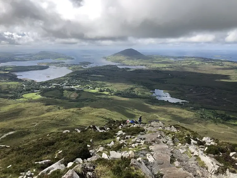
A view over Connemara from Diamond HillDiamond Hill: choose the trail before the summit photograph
Photo: Karie Kuiper · Source · CC BY-SA 4.0. Resized and converted to WebP; metadata removed. No scene changes. The derivative retains the source licence. Display preview cropped to fit.
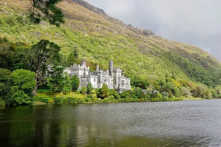
Kylemore Abbey below a wooded mountainside beside the lakeKylemore Abbey: leave time beyond the lakeside photograph
Photo: Berthold Werner · Source · CC BY-SA 4.0. Resized and converted to WebP; metadata removed. No scene changes. The derivative retains the source licence. Display preview cropped to fit.
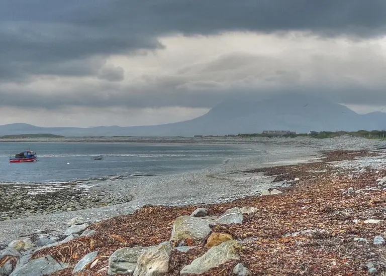
The Renvyle coast with Mweelrea beyond the waterRenvyle Peninsula: give the smaller roads and shore stops time
Photo: michael clarke stuff · Source · CC BY-SA 2.0. Resized and converted to WebP; metadata removed. No scene changes. The derivative retains the source licence. Display preview cropped to fit.

Plan with the tourism route guide and further visitor information. Local signs and current notices take precedence over this overview.

Save journeys and favourite places in the Ramble Journeys app →