
Make time for the places along the way
The published loop starts at Howth railway station and follows the green waymarkers. Check that you are following this loop rather than one of the longer Howth routes when paths divide.
Rough ground and exposed edges make this a different outing from the harbour promenade. Check wind and current access notices, keep to the path and allow time for the ascent towards the Summit and return.
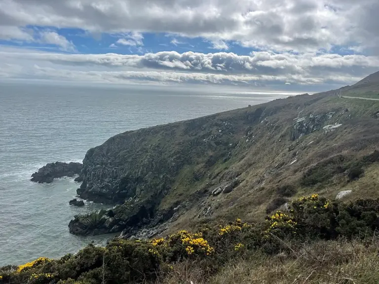 Howth’s Cliff Path Loop: give the headland a proper walking day

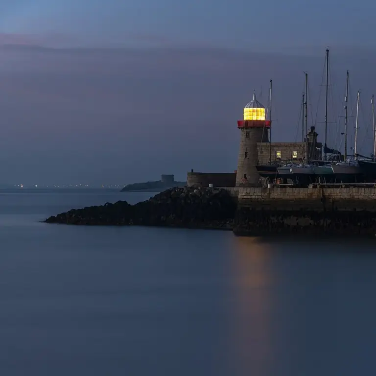 Howth: give the harbour a day before adding the cliffs

Plan with the tourism route guide and further visitor information. Local signs and current notices take precedence over this overview.