
Make time for the places along the way
Beginning and ending in Tralee, the Dingle Way combines settlement stops with mountain, field and coastal walking. Dingle can be one overnight base, but the full journey needs a stage plan and current trail information.
Use the named waymarked route, not the Slea Head road line, to plan the walking day. Beach and mountain sections demand their own weather and access checks; leave time for the return or the next overnight stop.
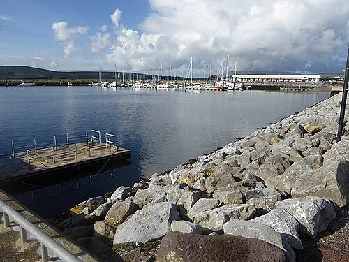 Dingle town: leave a day for the harbour and its streets

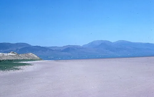 Inch Strand: give the Dingle Bay beach its own outing
 Dingle Distillery: give the production story its own visit
Plan with the tourism route guide and further visitor information. Local signs and current notices take precedence over this overview.