
Make time for the places along the way
This road option reaches Valentia through Portmagee and the bridge, then returns to Portmagee before continuing around the coast. It avoids depending on the seasonal ferry. The official tourism guide also describes a ferry arrival at Knightstown when that service is operating.
Choose a few visits around the harbour villages and bays. A boat trip to Skellig Michael is a separate, weather-dependent excursion requiring the appropriate booking; the drive does not provide access to the island.
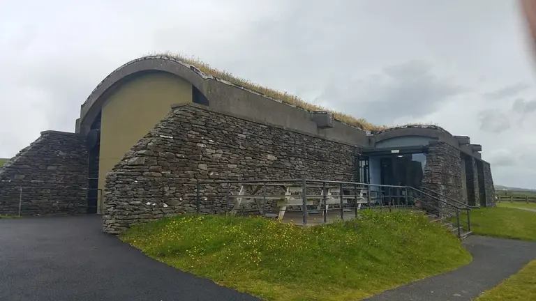 The Skellig Experience: understand the islands without a landing

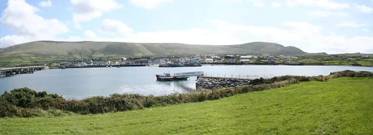 Portmagee: make the harbour village more than a boat departure

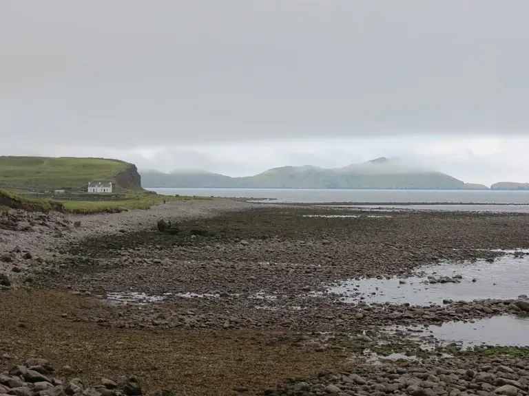 Waterville: spend time between the sea and Lough Currane

Plan with the tourism route guide and further visitor information. Local signs and current notices take precedence over this overview.