Scenic drives · Discover the places along the way

Achill Atlantic Drive · Island Loop

Explore Achill’s southern shore from Achill Sound, with Kildavnet, Ashleam and Dooega along a compact island circuit.

Scenic driving · Towns, stories and local businesses
A scenic road journey. Explore the published touring area, with nearby visits planned separately. This is a route overview, not live navigation. Follow local signs and road notices. Road-route overview. Narrow roads, hairpin bends and steep hills. Minaun Heights is not included in the main circuit. Check local conditions and parking before stopping. Official visitor information ↗

See the towns on the map

The map loads from OpenStreetMap when you choose to open it. You can also use the town list below.

Achill Atlantic Drive · Island Loop · mapped circuit approximately 33 km

Approximate town-centre markers; not attraction entrances or business addresses. Map: © OpenStreetMap contributors. Road data © OpenStreetMap contributors (ODbL), route trace prepared with BRouter; checked against the tourism guide, 21 November 2026. Not live navigation. Town and area markers only; no business pins.

Make time for the places along the way

The island loop follows Achill Sound south before turning towards Ashleam and Dooega. The road is narrow and hilly, with places to pause only where parking is permitted. Return through the island’s interior, keeping the coast and its small settlements at the centre of the day.

Minaun Heights is an optional, steep side trip. Keem, Keel and the Deserted Village are also separate visits, not stops on this driving line.
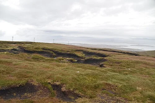
A view from Minaun Heights on AchillMinaun Heights: Achill from above
Photo: N Chadwick  · Source · CC BY-SA 2.0. Resized and converted to WebP; metadata removed. No scene changes. The derivative retains the source licence. Display preview cropped to fit.
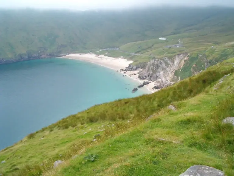
The beach and surrounding slopes at Keem Bay on AchillAchill Island Sea Salt: follow an ingredient back to its makers
Photo: Sergio · Source · CC BY 2.0. Resized and converted to WebP; metadata removed. No scene changes. The derivative retains the source licence. Display preview cropped to fit.
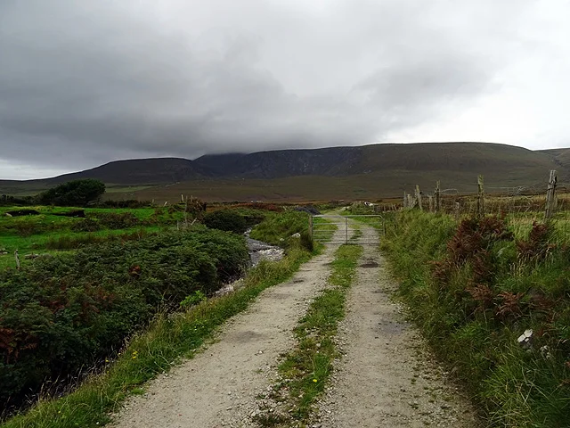
A view along the Dooagh Loop on AchillThe Dooagh Loop: an Achill walk beyond the main road
Photo: John Lucas  · Source · CC BY-SA 2.0. Resized and converted to WebP; metadata removed. No scene changes. The derivative retains the source licence. Display preview cropped to fit.

Plan with the tourism route guide and further visitor information. Local signs and current notices take precedence over this overview.

Save journeys and favourite places in the Ramble Journeys app →