Scenic drives · Discover the places along the way

Wicklow Gap

Cross from Hollywood to Laragh on the R756, with a mountain pass between west Wicklow and the Glendalough valley.

Scenic driving · Towns, stories and local businesses
A scenic road journey. Explore the published touring area, with nearby visits planned separately. This is a route overview, not live navigation. Follow local signs and road notices. Follow the R756 between Hollywood and Laragh. This road overview is not live navigation. Mountain weather and winter conditions can affect access; use permitted parking for viewpoints and Glendalough visits. Official visitor information ↗

See the towns on the map

The map loads from OpenStreetMap when you choose to open it. You can also use the town list below.

Wicklow Gap · mapped road approximately 26 km

Approximate town-centre markers; not attraction entrances or business addresses. Map: © OpenStreetMap contributors. Road data © OpenStreetMap contributors (ODbL), route trace prepared with BRouter; checked against the tourism guide, 21 November 2026. Not live navigation. Town and area markers only; no business pins.

Make time for the places along the way

Hollywood and Laragh mark the ends of this compact mountain drive. The R756 climbs through the Wicklow Gap before descending towards Glendalough. Travel in either direction and allow time for a proper stop rather than treating every view as a roadside pull-in.

Glendalough offers a separate visit to the monastic settlement, lakes and marked walks. Choose a walk to suit the day and your experience, and check current park notices. The scenic road is a driving route; the nearby St Kevin’s Way is a separate walking trail.
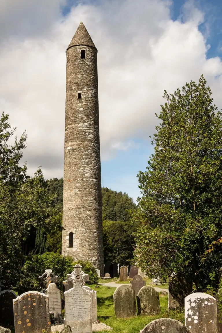
Round tower among the monastic ruins at GlendaloughGlendalough’s Monastic City: begin with the buildings in the valley
Photo: Rafesmar · Source · CC BY-SA 4.0. Resized and converted to WebP; metadata removed. No scene changes. The derivative retains the source licence. Display preview cropped to fit.
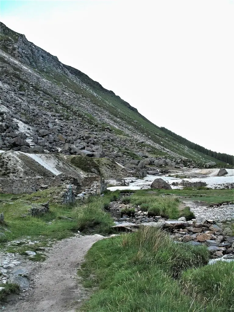
Ruined buildings at the Glendalough miners’ villageGlendalough’s Miners’ Road: walk beside the Upper Lake and return
Photo: Marie ÄŒcheidzeová · Source · CC BY-SA 4.0. Resized and converted to WebP; metadata removed. No scene changes. The derivative retains the source licence. Display preview cropped to fit.
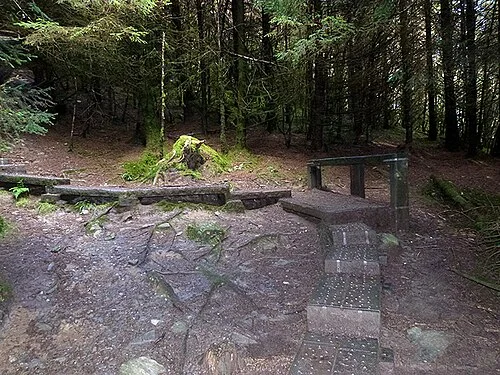
Archive boardwalk steps on the climb towards the SpincThe Spinc White Route: plan Glendalough as a mountain day
Photo: Oliver Dixon  · Source · CC BY-SA 2.0. Resized and converted to WebP; metadata removed. No scene changes. The derivative retains the source licence. Display preview cropped to fit.

Plan with the tourism route guide and further visitor information. Local signs and current notices take precedence over this overview.

Save journeys and favourite places in the Ramble Journeys app →