Scenic drives · Discover the places along the way

Sally Gap / Old Military Road

Leave the city behind for the open uplands of Sally Gap, the valley road to Laragh and the quieter southern stretch through Glenmalure.

Scenic driving · Towns, stories and local businesses
A scenic road journey. Explore the published touring area, with nearby visits planned separately. This is a route overview, not live navigation. Follow local signs and road notices. Road overview, not live navigation. Mountain roads can be affected by ice, snow and fog. Stop only where parking is permitted; Glendalough and other attractions may involve a detour. Official visitor information ↗

See the towns on the map

The map loads from OpenStreetMap when you choose to open it. You can also use the town list below.

Sally Gap / Old Military Road · mapped road approximately 59 km

Approximate town-centre markers; not attraction entrances or business addresses. Map: © OpenStreetMap contributors. Road data © OpenStreetMap contributors (ODbL), route trace prepared with BRouter; checked against the tourism guide, 21 November 2026. Not live navigation. Town and area markers only; no business pins.

Make time for the places along the way

This north-to-south journey follows the Military Road corridor from Rathfarnham to Aughavannagh. Sally Gap is the exposed crossroads at its heart; Laragh is a useful place to pause before continuing towards Glenmalure. Choose a starting point and direction to explore the whole corridor or a shorter section.

The linked Glendalough and Glenmalure stories are separate visits, with their own parking and walking arrangements. Use designated parking, leave gateways clear and check mountain-road conditions before setting out. Ice, fog and snow can change the journey substantially.
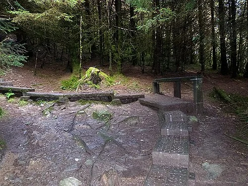
Archive boardwalk steps on the climb towards the SpincThe Spinc White Route: plan Glendalough as a mountain day
Photo: Oliver Dixon  · Source · CC BY-SA 2.0. Resized and converted to WebP; metadata removed. No scene changes. The derivative retains the source licence. Display preview cropped to fit.
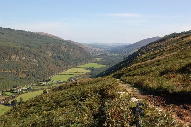
View along Glenmalure valleyGlenmalure: enjoy the valley without improvising a summit route
Photo: Shever · Source · CC BY 2.0. Resized and converted to WebP; metadata removed. No scene changes. The derivative retains the source licence. Display preview cropped to fit.
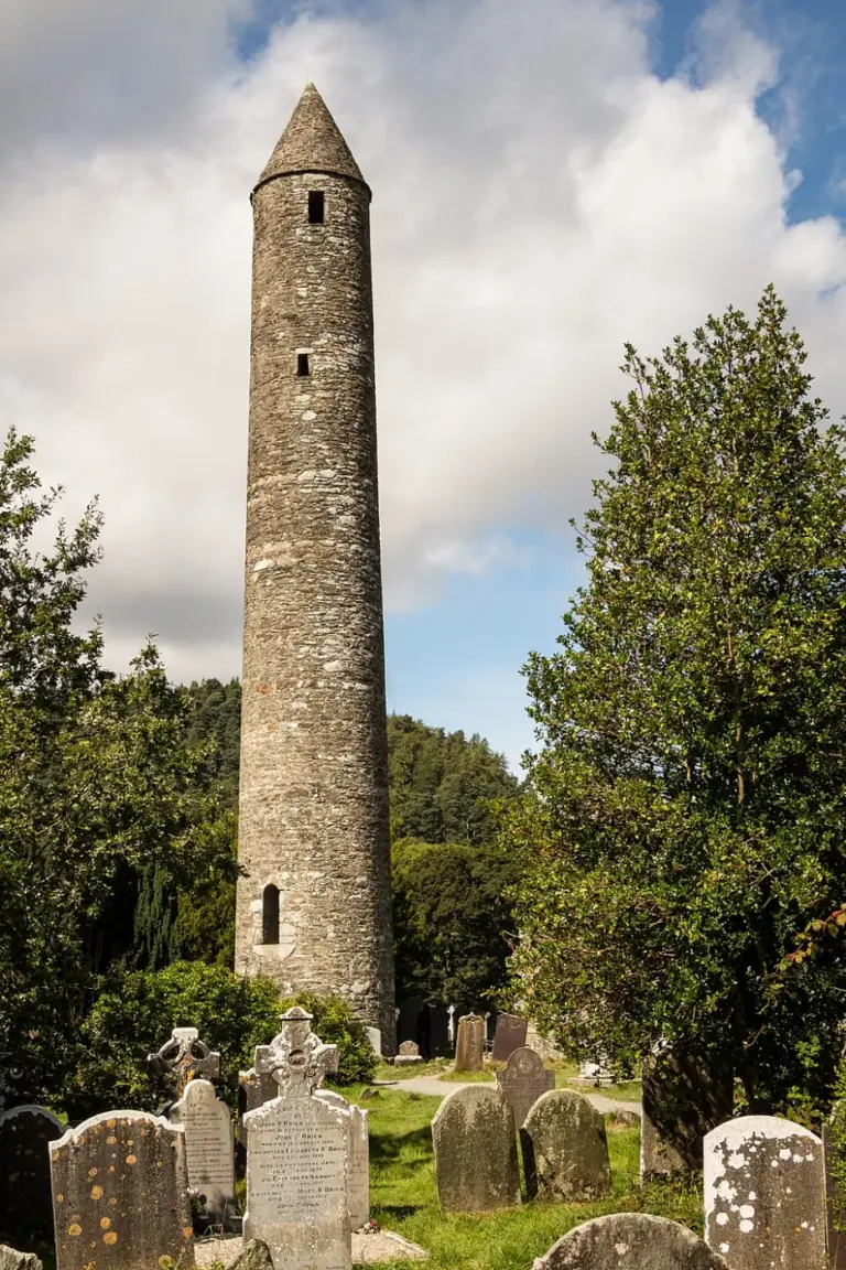
Round tower among the monastic ruins at GlendaloughGlendalough’s Monastic City: begin with the buildings in the valley
Photo: Rafesmar · Source · CC BY-SA 4.0. Resized and converted to WebP; metadata removed. No scene changes. The derivative retains the source licence. Display preview cropped to fit.

Plan with the tourism route guide and further visitor information. Local signs and current notices take precedence over this overview.

Save journeys and favourite places in the Ramble Journeys app →