
Make time for the places along the way
Beara invites a different pace. Kenmare and Glengarriff frame the eastern end, while Lauragh, Ardgroom, Eyeries, Allihies and Castletownbere give the peninsula a chain of distinct stops. Leave room for a walk through a village or a harbour-side pause instead of treating every bend as another deadline.
This road overview returns between Glengarriff and Kenmare by the Caha Pass. Healy Pass, Dursey Island and other island visits are optional excursions with their own conditions and arrangements. A directory result is a participating business, while the linked stories provide editorial ideas; the two are kept distinct.
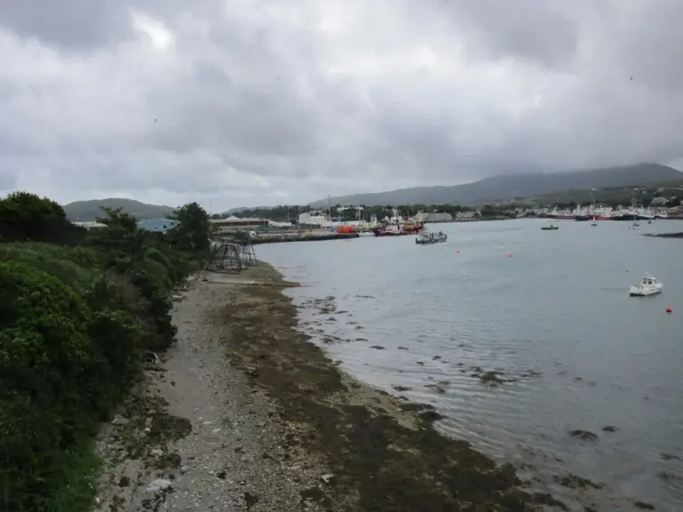 Castletownbere: spend time beside a working fishing harbour

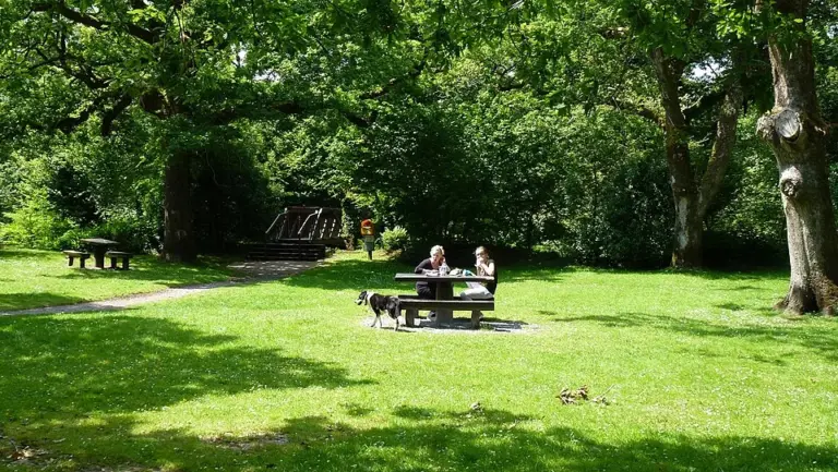 Glengarriff Nature Reserve: find a woodland walk that fits

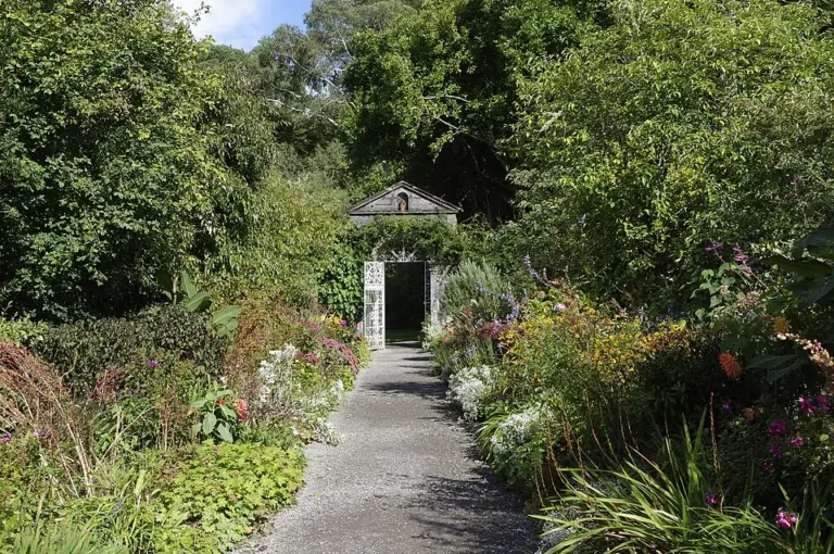 Garinish Island: make the garden and boat work together

Plan with the tourism route guide and further visitor information. Local signs and current notices take precedence over this overview.