
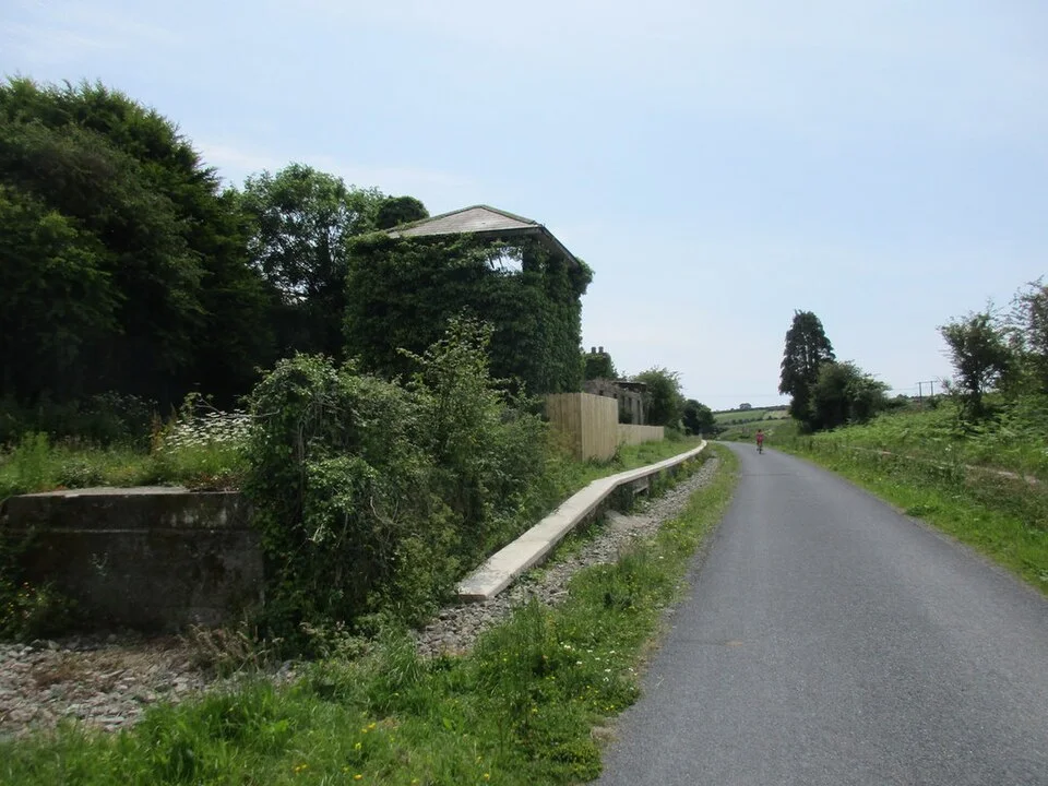
Former railway context beside the Greenway; the photograph does not establish present route conditions. Photo: Jonathan Thacker · CC BY-SA 2.0. Resized and converted for the web. Full credit.

The Waterford Greenway runs for 46 kilometres between the city and Dungarvan. That is the full route, not a minimum requirement: choosing one section can make a much better outing than organising the day around reaching the other end.
Plan the return before setting off
Decide between an out-and-back visit and a one-way journey with confirmed transport. Cycle hire and transfers have their own availability and terms. A linear route on a map does not solve the practical question of how you and any rented bicycle get back to the start.
Use the former railway to read the landscape
The corridor passes river scenery, old stations, bridges and other reminders of its earlier purpose. Choose a section for those features rather than kilometres alone. Stop where there is room to do so, leaving the path clear for walkers and cyclists passing through.
Make stops deliberately
A garden, café or town visit can give the outing a useful focus, but each has its own opening and access arrangements. Mount Congreve’s entrance from the Greenway, for example, follows estate hours rather than providing unrestricted access at any time. Check the link between the route and your intended stop.
Before you go
Consult the current official map, notices and daylight before departure. Share the route considerately, slow down around other users and carry water and weather protection. A smooth surface does not remove the need to choose a distance that suits every member of the group.
Plan your visit
Government Waterford Greenway guide · Waterford Council greenway information
More in Waterford
Anne Valley Walk: follow the river with a return plan · Explore the county guide
Have a story to share?
Tell us about a place, a journey or a different side of Ireland. Send your article to the Ramble editorial team for review.