
Make time for the places along the way
A Causeway Coast journey deserves more than a race between its famous landmarks. Carrickfergus, Glenarm, Carnlough, the Glens villages and Ballycastle give the eastern coast its rhythm; Bushmills, Portrush and Portstewart add further reasons to pause before the route continues towards Derry.
The Giant’s Causeway, Carrick-a-Rede, the Gobbins and Dunluce Castle are linked as separate visits. Some require booked admission or have seasonal and weather restrictions. Rathlin involves a ferry and its own return plan. This overview uses the main coastal road rather than presenting the narrow Torr Head alternative as compulsory.
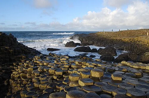 The Giant’s Causeway: give the stones time beyond the photograph

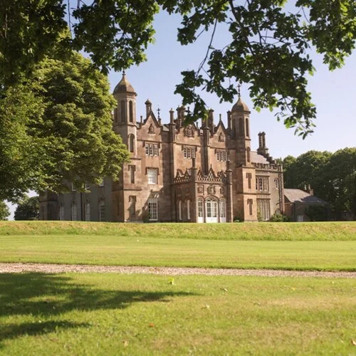 Glenarm Castle: choose the season as carefully as the visit

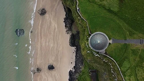 Mussenden Temple and Downhill: look at the whole clifftop landscape

Plan with the tourism route guide and further visitor information. Local signs and current notices take precedence over this overview.