Scenic drives · Discover the places along the way

Ring of Kerry

Make a circuit of the Iveragh Peninsula, with time for its towns, mountain views and coast. Choose where to join, then explore the stories and local businesses around each stop.

Scenic driving · Towns, stories and local businesses
A scenic road journey. Explore the published touring area, with nearby visits planned separately. This is a route overview, not live navigation. Follow local signs and road notices. Follow current local signs and traffic advice. The main circuit uses the N70, N71 and N72; linked islands, beaches and walks can require separate journeys. This overview is not live navigation. Official visitor information ↗

See the towns on the map

The map loads from OpenStreetMap when you choose to open it. You can also use the town list below.

Ring of Kerry · mapped circuit approximately 173 km

Approximate town-centre markers; not attraction entrances or business addresses. Map: © OpenStreetMap contributors. Road data © OpenStreetMap contributors (ODbL), route trace prepared with BRouter; checked against the tourism guide, 20 November 2026. Not live navigation. Town and area markers only; no business pins.

Make time for the places along the way

A good Ring of Kerry day leaves space between the viewpoints. Killarney and its lakes make one possible beginning, while Killorglin, Glenbeigh, Cahersiveen and Waterville offer different places to pause around the peninsula. On the southern side, Caherdaniel, Sneem and Kenmare reward a slower visit.

The map follows the main road circuit. Derrynane, stone forts, beaches, Valentia Island and the Skellig Ring are separate visits or detours, not promises of roadside access. Choose a few stops rather than trying to fit every linked article into one day. Check each attraction’s opening arrangements and local road notices before travelling.
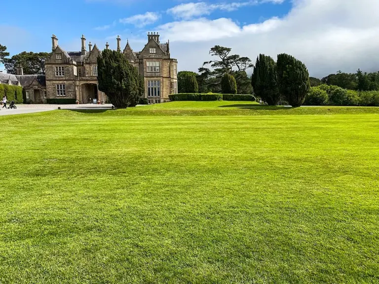
The exterior and lawns of Muckross HouseMuckross House: look beyond the grand façade
Photo: Dieglop · Source · CC BY-SA 4.0. Resized and converted to WebP; metadata removed. No scene changes. The derivative retains the source licence. Display preview cropped to fit.
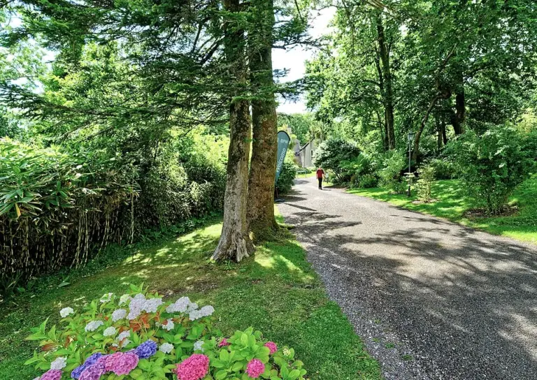
A tree-lined path in the grounds at DerrynaneDerrynane House: meet Daniel O’Connell in his home landscape
Photo: Holger Uwe Schmitt · Source · CC BY-SA 4.0. Resized and converted to WebP; metadata removed. No scene changes. The derivative retains the source licence. Display preview cropped to fit.
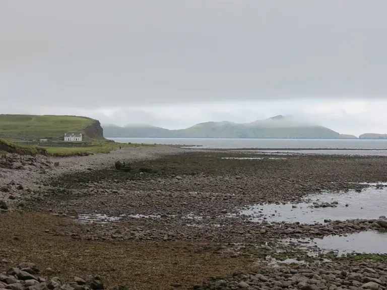
The shore looking south along Waterville beachWaterville: spend time between the sea and Lough Currane
Photo: Martin Dawes  · Source · CC BY-SA 2.0. Resized and converted to WebP; metadata removed. No scene changes. The derivative retains the source licence. Display preview cropped to fit.

Plan with the tourism route guide and further visitor information. Local signs and current notices take precedence over this overview.