
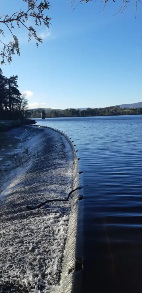
Reservoir-system context; this image is not identified as a specific section of the Upper Vartry loop. Photo: Jdsal62 · CC BY-SA 4.0. Resized and converted for the web. Full credit.

The reservoirs beside Roundwood offer a different landscape from Wicklow’s higher mountain routes: open water, wooded edges and the visible workings of a water-supply system. Choose a specific trail before arriving. “Vartry loop” can refer to several routes, and the Upper Reservoir walk should not be confused with a longer combination or an older description of the lower circuits.
Use the Upper Vartry starting point
Wicklow Tourism lists a 6.6-kilometre easy loop from the Knockraheen entrance. Check that name against the current map and signs on arrival. Allow the walk to take as long as the group needs rather than treating a published ninety-minute estimate as a deadline, particularly when stopping to look across the water.
Let the woodland and water set the pace
The changing edge between trees and reservoir gives the walk its interest. Stay on the permitted route rather than approaching exposed banks or following a tempting track into operational land. Water levels alter the view, but low water does not make the reservoir bed a public walking area.
Do not join routes on assumption
Older maps show several reservoir trails and connections. Each needs its own access check, especially after storm damage or maintenance. If a sign closes a circuit, choose a confirmed alternative rather than improvising through woodland or along a busy road to complete the shape shown on a map.
Before you go
Check current access locally before setting out and follow the trailhead notices. Reservoir land is working infrastructure as well as a visitor setting; stay out of fenced facilities and keep well back from the water. Wear shoes for damp tracks, bring weather protection and supervise children. A pleasant lakeside path is not an approved swimming place. Confirm parking and any desired café stop in Roundwood separately, and allow daylight for the whole route and the return journey.
Plan your visit
Wicklow Tourism: Upper Vartry Trail · Wicklow Uplands: reservoir trails map · East Wicklow Rivers Trust: Vartry catchment
More in Wicklow
Glen Beach Cliff Walk: give Wicklow Head’s coast a careful afternoon · Explore the county guide
Have a story to share?
Tell us about a place, a journey or a different side of Ireland. Send your article to the Ramble editorial team for review.