
Photo: N Chadwick · CC BY-SA 2.0. Resized and converted for the web. Full credit.

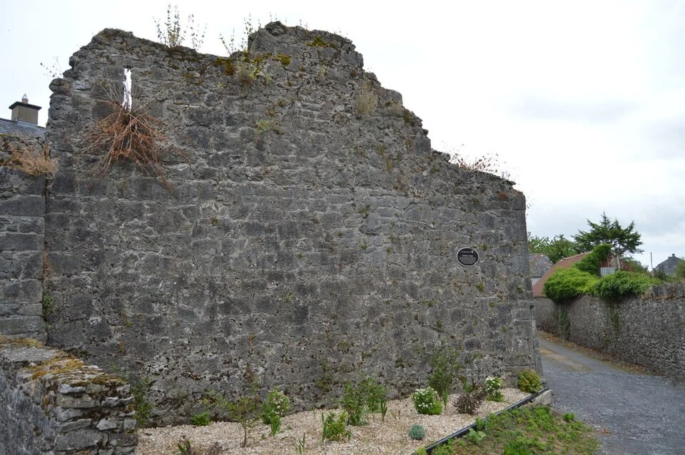
Fethard’s medieval walls are part of the town rather than an attraction isolated behind a single entrance. Following their surviving line gives a reason to look closely at streets, gateways and the relationship with the River Clashawley.
Look for the boundary rather than a continuous circuit
A wall once separated the protected town from the land outside. Surviving sections, changes in street layout and local interpretation help explain that distinction today. Do not assume that a historical circuit is now an uninterrupted public walking route along the top or base of every stretch.
Notice where the town meets the river
The waterside setting gives some of the clearest views of the defences. Use established public paths and viewing areas, keeping out of private ground and respecting any conservation work. The best way to understand the wall is from a safe public position, not by climbing onto it.
Allow time inside the old boundary
The streets and buildings within the wall belong to the same story. A short independent walk can be combined with a separately booked museum visit or food stop. There is no need to make each surviving section another hurried photograph before leaving town.
Before you go
Use current local interpretation and access signs to choose a route. Wear footwear suitable for uneven surfaces and pay attention at street crossings and beside water. A historic-town walk does not establish step-free access throughout. Check any organised tour directly and keep residents’ doors, traffic routes and working premises clear while stopping to look.
Plan your visit
Tipperary Heritage Office: medieval walled towns · Tipperary County Council: walled towns
More in Tipperary
Fethard Horse Country Experience: begin with the story, not a stable visit · Explore the county guide
Have a story to share?
Tell us about a place, a journey or a different side of Ireland. Send your article to the Ramble editorial team for review.