
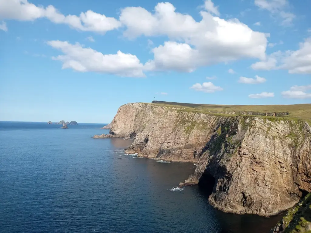
Photo: ScaccabarozziInter · CC BY-SA 4.0. Resized and converted for the web. Full credit.

Benwee Head is a place for a walking day rather than a quick detour between photographs. Starting from Ceathrú Thaidhg, the loop takes you into the open landscape of north Mayo, where bogland and the Atlantic meet. The scale is part of the attraction, and also a reason to arrive properly prepared.
Start in Ceathrú Thaidhg
The village, also called Carrowteige, is the start and finish of the signed loop. The national visitor listing allows around five hours and describes a demanding walk over bog tracks and open ground. Build in additional time for breaks and finding the route. A trail can feel considerably longer when the ground is soft or visibility closes in.
Read the coast from the trail
The walk combines sea views with traces of the area’s human history, including a wartime observation hut and an ÉIRE marking. Take time to notice these alongside the bigger coastal scenery. Keep well back from cliff edges, follow the marked line and resist shortcuts to viewpoints that are outside the route.
Plan for a long exposed outing
Carry food and drinking water rather than relying on finding somewhere to buy supplies along the way. Waterproof footwear, warm layers and navigation equipment belong in the plan even on a promising morning. If your party wants only a short stroll, choose a different local route instead of assuming this loop is easily shortened.
Before you go
Check the current trail map, weather and local access notices before setting out. Ask locally about livestock and dog restrictions. Turn back early if wind, ground conditions or your party’s energy make the full circuit unsuitable.
Plan your visit
Benwee Head Loop route details
More in Mayo
Erris Head: a loop through grassland and Atlantic views · Explore the county guide
Have a story to share?
Tell us about a place, a journey or a different side of Ireland. Send your article to the Ramble editorial team for review.