
Photo: A.-K. D. · CC0. Resized and converted for the web. Full credit.

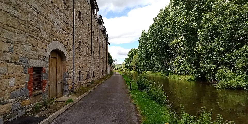
The Barrow corridor links Leighlinbridge with Bagenalstown through a landscape of towpaths, cuts, locks and former mills. It can make a satisfying town-to-town walk, provided the start, finish and return are decided in advance. A riverside route is not automatically a paved greenway.
Choose your precise endpoints
Waterways Ireland describes a longer Leighlinbridge–Goresbridge stage that includes Bagenalstown. Walking only part of it needs its own distance and turnaround plan. Use the current map rather than applying the full-stage figure or a short tourism summary to every possible start point.
Look at the river’s working past
Side channels and navigation structures show why the walking line sometimes leaves the main river. Near Bagenalstown, old mill buildings add another part of the story. Observe from public ground and do not enter disused buildings or cross working lock structures to improve a view.
Leave room for the conditions
Grass, mud and wet banks can slow the walk considerably. A clear summer photograph does not establish winter footing or flood access. Keep the group together and turn back where closures or high water make the planned route unsuitable.
Before you go
Check Waterways Ireland notices and local access information before travelling. Arrange a collection or confirm a real return service rather than assuming taxis will be immediately available. Carry walking footwear, water and rain protection, with time left before dark. Supervise children around unguarded banks and weirs. Food or a swim at a seasonal facility needs a separate confirmed plan.
Plan your visit
Waterways Ireland: Leighlinbridge stage · Carlow Tourism: Leighlinbridge
More in Carlow
Borris Viaduct: take a short walk around a railway landmark · Explore the county guide
Have a story to share?
Tell us about a place, a journey or a different side of Ireland. Send your article to the Ramble editorial team for review.