
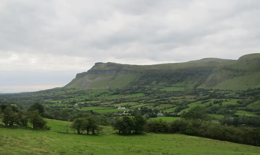
Benbulben landscape; not a depiction of every section of the forest route. Photo: Hellowiki789 · CC BY-SA 3.0. Resized and converted for the web. Full credit.

Benbulben’s long limestone face is one of Sligo’s defining sights. At Gortarowey, the forest walks let you spend time beneath it, with the mountain above the trees and the coast opening out below. This is a particularly useful outing when the view interests you more than reaching the highest ground.
Choose a route at Gortarowey
Coillte lists the Benbulben Loop at 5.5km, alongside the shorter Cashel Loop and a separate multi-access trail. Read the current trailhead map and select the route that suits your group. The existence of a short accessible section does not make the whole forest loop suitable for every wheelchair or buggy; check the particular surface and gradients you intend to use.
Look away from the mountain too
The outlook includes Sligo and Donegal bays, with Knocknarea and the Ox Mountains in the wider landscape. The changing relationship between the trees, mountain and water is part of the walk’s interest. A clear interval is worth using, but a little cloud moving along the rock face can also make the place feel quite different from its familiar postcard image.
Make it the walking part of a north Sligo day
Drumcliff or the coast around Grange can provide another part of the outing without turning the walk into a cross-county expedition. Allow time to finish the loop comfortably, then decide what follows. The signed forest routes are not instructions for climbing Benbulben’s upper slopes; anyone planning a mountain ascent needs a separate, appropriate route and the ability to follow it.
Before you go
Use Coillte’s current map and notices for Gortarowey. Check forestry diversions, weather and parking before starting. Follow the selected waymarks, carry what you need for the whole walk, and confirm the exact access provision if using the short multi-access route.
Plan your visit
Current route and access information
More in Sligo
Knocknarea: a walking day around Queen Maeve’s Cairn · Explore the county guide
Have a story to share?
Tell us about a place, a journey or a different side of Ireland. Send your article to the Ramble editorial team for review.