
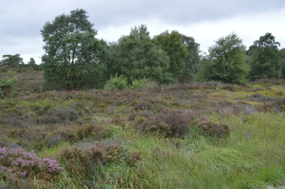
Corlea provides regional bogland context; this is not Derryaroge or its walking surface. Photo: N Chadwick · CC BY-SA 2.0. Resized and converted for the web. Full credit.

Derryaroge, also written Derraroge in visitor information, offers a bogland outing near Lanesborough with woodland and open views. The county lists a five-kilometre walk and a small parking area. Different descriptions use loop and out-and-back language, so establish the route from the current map rather than assuming that following any track will return to the car.
Watch the transition in vegetation
Woodland edges and open peatland offer different textures and shelter. The interest is in the change between them as much as in a distant view. Notice growth from the designated path without stepping onto soft peat or treating every opening as a public route.
Leave time for observation
A relatively level walk can still reward pauses. Look for the structure of the landscape, seasonal colour and signs of earlier use. Wildlife may appear, but a bird illustration on a map is not a guarantee of seeing that species on the day.
Treat the canal link as an extra
The county describes a connection towards the Royal Canal Greenway. Decide in advance whether to include it and measure the additional return. A longer linear outing needs a transport arrangement, while a short bog walk does not need to become an improvised canal expedition.
Before you go
Check current local notices and the entrance map before setting off. The listed car park has only five spaces; do not block working access or a road if it is full. Wear shoes suited to damp ground and carry protection from wind and rain. An easy classification does not guarantee that every surface will suit wheels, so ask about the chosen section if that matters. Keep to designated paths, turn back at flooding or closures and leave sufficient daylight to identify the correct return.
Plan your visit
Visit Longford: Derraroge Bog Walk · Longford Council: county and town walking map
More in Longford
Aughnacliffe Waterfall Trail: short does not mean level · Explore the county guide
Have a story to share?
Tell us about a place, a journey or a different side of Ireland. Send your article to the Ramble editorial team for review.