
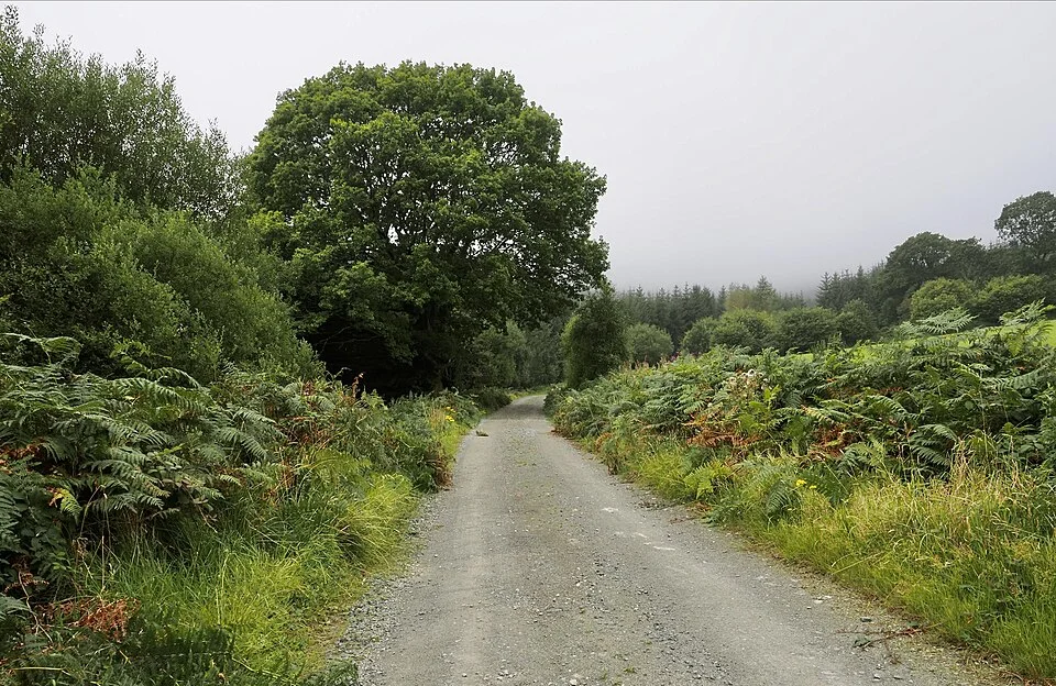
Archive forest-road view; use the current permitted approach and route map. Photo: Trevor Littlewood · CC BY-SA 2.0. Resized and converted for the web. Full credit.

The hills above Tinahely offer a substantial walking day, with Ballycumber among several named loops reached by Mangan’s Lane. The first planning task is reconciling the route description with the actual start. Published distances differ, and the approach from the village can materially change what sounds like a short countryside circuit.
Read both current descriptions
Sport Ireland lists Ballycumber as a strenuous 7.3-kilometre loop, while Tinahely Community Projects describes a fourteen-kilometre outing taking four to five hours. Do not merge those figures into one confident promise. Check the community’s current map and local trailhead information to establish the full route and approach you will walk.
Use the permitted village approach
The local community directions route access through School Road and Mangan’s Lane, with explicit restrictions affecting Garryhoe Lane. The narrow old lane should not be treated as a convenient drive to a mountain start. Plan parking in the village or another authorised location and include the walk to and from the trailhead.
Choose the hill day you actually want
Forest tracks, country lanes and higher ground require more than casual town footwear. Decide whether the whole circuit suits everyone and allow generous time for climbs, breaks and route finding. A different loop or a village visit is preferable to continuing beyond the party’s comfort simply because the car is now behind you.
Before you go
Confirm the current route before leaving and do not use old colour instructions where present waymarkers differ. Sport Ireland’s listing says dogs are not allowed. Bring appropriate footwear, waterproof clothing, food, water and navigation, with daylight for the full return. Do not cross a flooded ford or leave the permitted line to avoid an obstacle. The accompanying archive route photograph does not establish today’s surface or access. Arrange a later meal only after allowing for the longer realistic walking allowance.
Plan your visit
Tinahely Community Projects: current loop maps · Sport Ireland: Ballycumber Loop · Discover Ireland: Ballycumber approach
More in Wicklow
Glenmalure: enjoy the valley without improvising a summit route · Explore the county guide
Have a story to share?
Tell us about a place, a journey or a different side of Ireland. Send your article to the Ramble editorial team for review.