
Photo: Felix O · CC BY-SA 2.0. Resized and converted for the web. Full credit.

The road through Doolough passes between mountains and water in a landscape that can feel stark even on a bright day. It is also associated with a devastating episode of the Great Famine. Make time for both the view and the memorial, without allowing the scenery to obscure the history being remembered here.
Travel at the road’s pace
The R335 runs through the valley between the Mweelrea and Sheeffry mountain landscapes. Its bends and limited stopping places make considerate driving important. Stop only where there is proper space to pull in, and never block the road because a view has appeared unexpectedly. Cyclists need the same allowance for wind, weather and passing traffic.
Pause at the memorial
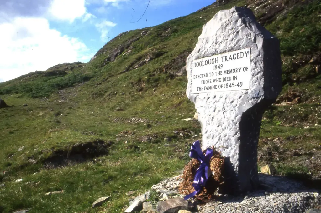
The plain stone cross recalls the Doolough tragedy of 1849, when people seeking relief during the Famine died on their journey. Read the inscription and give the place a quiet moment. It is a memorial, rather than simply a foreground object for a mountain photograph.
Separate a scenic journey from a hike
The valley is not a single signed footpath running safely beside the road. A drive through it, a short stop and a planned mountain walk are different undertakings. If walking is your aim, research a suitable route separately and consider a qualified guide. Do not improvise a lakeside or hillside shortcut from a roadside pull-in.
Before you go
Check weather and road conditions before travelling between Louisburgh and the Leenane direction. Allow daylight, keep stopping places clear and wear a visible layer if you must move beside the road. Take care around water and exposed ground.
Plan your visit
Doolough landscape and memorial information
More in Mayo
Céide Fields: the old landscape beneath the bog · Explore the county guide
Have a story to share?
Tell us about a place, a journey or a different side of Ireland. Send your article to the Ramble editorial team for review.