
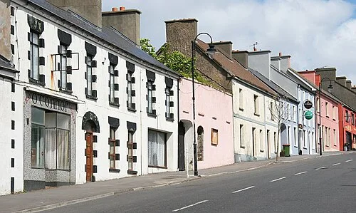
Archive town view; not the Sralagagh walking route. Photo: Phil Armitage · Public domain. Resized and converted for the web. Full credit.

Ballycastle is a useful starting point for seeing north Mayo from inland as well as from the cliffs. The Sralagagh Loop turns towards lanes, bogland and rising ground, putting the coast into a wider landscape. Give it a proper walking slot and return to the village afterwards rather than rushing straight to the next headland.
Follow the green-arrow circuit
The route begins at the end of Main Street and returns to Ballycastle. Its current trail table gives 8.2 kilometres, a moderate grade and around three and a half hours. Other text on the same page quotes a different length, so consult the current map and trailhead board before deciding whether it suits your party.
Look towards Downpatrick Head
As the path rises around Ballyknock, the views draw the inland fields and coast together. It is a different experience from standing beside the sea stack at Downpatrick Head. Watch for the textures and seasonal plants of bogland without leaving the marked route or trampling into soft ground for a closer picture.
Make a village day of it
Ballycastle can anchor a day with one substantial walk and one indoor or heritage stop. Choose the second visit around its actual opening times, particularly outside summer. A pause for lunch is easier to enjoy when there is no pressure to fit several distant attractions into the remaining daylight.
Before you go
Take the current route map, boots, waterproofs and supplies. Confirm local access rules, including any restrictions affecting dogs. Leave gates as instructed and keep well clear of livestock. Distances on older leaflets may refer to a different alignment.
Plan your visit
Sralagagh Loop route information
More in Mayo
Clare Island’s Knocknaveen Loop: plan around the ferry · Explore the county guide
Have a story to share?
Tell us about a place, a journey or a different side of Ireland. Send your article to the Ramble editorial team for review.